Holy lords and their overlords, a collapse, and a city governed by a council of noble houses
The Maya: Classic kings to the League of Mayapán
250 CE – 1517 CE
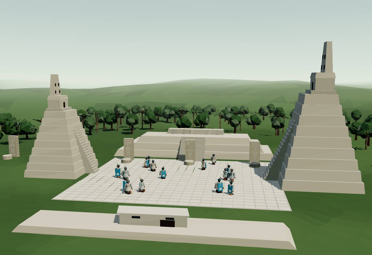
Tikal: the Great Plaza
250 CE – 550 CE
Holy lords and Teotihuacan
In the lowland forests of Guatemala, Mexico and Belize, dozens of small kingdoms were ruled by “holy lords” who set up carved stelae recording their accessions and rites in Long Count dates. In January 378 a stranger named Siyah K’ak’ arrived at Tikal; the king died that day, and a year later a young king whose father’s name evokes highland Mexico was installed under him. Far to the north-east, the Snake kings of Dzibanche were building the network that would dominate the next centuries.
Terms: The Maya: Classic kings to the League of Mayapán: Holy lords and Teotihuacan
- k’uhul ajaw “divine lord” or “holy lord”: the king at the centre of a Classic Maya court, named with his kingdom’s emblem glyph, e.g. k’uhul kaanul ajaw, “Holy Snake[-Place] Lord” 9,2
- kaloomte’ the highest title, borne by overlords: Spearthrower Owl and Siyah K’ak’ carry it; Martin suggests it marks overlords of conquered lands 3,2
- y-ahaw / yajaw “the lord of”: the glyph that names one ruler as another’s vassal (Stuart writes y-ahaw, Martin yajaw) 3,2
- ajawil / ajawlel derived nouns of ajaw, ‘lord’ (Yucatec ajawlil): read as ‘kingdom’ by Lacadena and Ciudad Ruiz, as ‘kingship’ by Houston, Robertson and Stuart and by Bíró 9
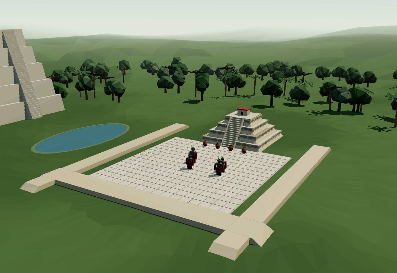
Tikal’s copy of Teotihuacan’s Ciudadela
Classic Maya kingdoms were ruled by a k’uhul ajaw, a “divine lord”, at the centre of a court society; the inscriptions were commissioned by a small elite of rulers, their close family and title-holders (Bíró). Each king bore an emblem glyph, a title read as “(holy) lord of such-and-such place”: every main sign in an emblem began as a place-name (Martin). 9,2 Consensus Texts
“A defining feature of Classic Maya political culture was the pivotal role of bloodline in determining legitimacy, with each king in a dynasty claiming descent from a close relative and, beyond them, an ancestral founder who may have lived centuries in the past.” Only a few kingdoms set down king lists in any consistent way; Martin names Copán, Palenque and Yaxchilan. 2 Consensus Texts
Four texts at Tikal and Uaxactún record the day 8.17.1.4.12 11 Eb 15 Mac, in January 378. At Uaxactún its event is hul-iy, “he arrived”, and its protagonist is Siyah K’ak’, “Fire is Born”; Tikal Stela 31 adds that on that day the king, Jaguar Paw, died. Finding no war glyph in the four texts, Stuart rereads the episode as an arrival, and judges it “the single most important political or military episode of early Classic Maya history”. 3 Debated Texts Read more: Teotihuacan in 378 (Central Mexico)
Within a year, in 379, Nun Yax Ayin became king of Tikal. His father was not the dead king but Spearthrower Owl, “an unusual break in the customary father-to-son pattern of succession”; Stela 4 calls the new king y-ahaw, “the lord of”, Siyah K’ak’, and Stela 31 suggests he was under twenty. Stuart reads Siyah K’ak’ as a regent for a child king and as Teotihuacan’s representative in the central Petén; Tikal monuments show Nun Yax Ayin in Teotihuacan dress. 3 Debated Texts
Spearthrower Owl took office in 374, at an unnamed place, and died in 439, in the reign of his grandson at Tikal. His name is “probably not Mayan”, he bears the kaloomte’ title, and his name appears as an emblem in Teotihuacan art: Stuart proposes, “with some hesitation”, that he was a ruler of Teotihuacan. Three centuries later Tikal’s king Jasaw Chan K’awiil marked the thirteenth k’atun anniversary of his death, in 695, on a lintel of Temple I. 3 Speculative Texts
Lidar flown in 2016 showed, south of Tikal’s Mundo Perdido, a precinct laid out like the Ciudadela of Teotihuacan at about 30 per cent smaller, oriented 15.5 ± 1° east as Teotihuacan’s grid is. Excavation from 2019 found a pyramid about 12 m high built unusually of clay and adobe, in six phases mostly of the Early Classic (c. 300–550), Teotihuacan-style incense burners and a burned deposit of two human sacrifices with green obsidian points. Houston and colleagues read it as “the replication of an imperial locality tied to conquest and foreign rites”. 10 Consensus Excavation Survey
The intrusion of 378 was “local to Tikal, yet regional in impact”, Houston and colleagues write, in “a landscape of newly founded dynasties served by ancestral cults and protected or surveilled by extensive fortifications”. Copán’s royal dynasty dates its foundation to 426. 10,11 Consensus Texts Survey
The Snake (kaanul) kings first ruled from Dzibanche, 126 km north-east of Calakmul, where a stairway of captives names a victor called Yuknoom Ch’een with an early snake emblem. Calakmul then had its own dynasty: its longest inscription, Stela 114, for the period ending 9.0.0.0.0 in 435, names a king with a bat emblem. The snake kings, Martin concludes, “were not native to Calakmul but arrivistes who had displaced an existing lineage”. 2 Consensus Texts Excavation
Tikal’s eighteenth king, Chak Tok Ich’aak II, appears as king from 488 and died in 508. His son did not follow him: three years later a six-year-old girl, the Lady of Tikal, was inaugurated as ajaw together with an older man, Kaloomte’ Bahlam, said to be the nineteenth king. The son, Wak Chan K’awiil, was installed in 537 as the twenty-first king, after a text that says he “arrived”. 5 Consensus Texts
How power worked King · Heredity · Custom and kin
How power worked
- Who rules
- King Consensus
Why?
- How chosen
- Heredity Consensus
Why?
- Limits on power
- Custom and kin Debated
Why?
- Scale
- City-state Consensus
Why?
- Claim to rule
- Divine mandate Consensus
Why?
- Who has a say
- A narrow elite Consensus
Why?
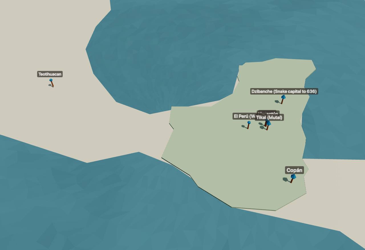
550 CE – 800 CE
Overkings and their vassals
Two great powers competed across the southern lowlands. The Snake kings, first from Dzibanche and from 636 from Calakmul, gathered client kings by installing them, supervising their accessions and defeating their rivals; Tikal was defeated in 562 and again in 657 and recovered. The inscriptions call a client the yajaw, the “vassal”, of his overlord. Yet the many small kingdoms survived: whether this was an age of superstates or of peers held in balance is the question of the period.
“By the first decades of the seventh century, the serpent kings had spread their influence across the southern lowlands, acquiring a series of major client kingdoms and doubtless a larger number of minor ones for which evidence is lacking.” In the process, Martin writes, they had “militarily neutered and apparently subordinated two leading rivals, Tikal and Palenque, at least for a time”. 2 Consensus Texts
The Snake king K’ahk’ Ti’ Ch’ich’ was seated “into kaloomte’-ship” at Dzibanche in 550, and on a bone from Calakmul he is styled a great lord of the eastern Maya realm. “The kaloomte’ epithet establishes K’ahk’ Ti’ Ch’ich’s hegemonic power, of which his overlordship at El Peru was just one part.” Stuart notes Martin’s suggestion that the title marks overlords or “emperors” of conquered territories. 2,3 Consensus Texts
In 553 Caracol’s new king was seated “under the aegis of the ruler of Tikal”; in 556 Tikal attacked, possibly Caracol itself; in 562 Tikal suffered a “star war” defeat. Martin reads the effaced victor as a Snake king, probably K’ahk’ Ti’ Ch’ich’. Tikal then raised no monument for 130 years, and a later Tikal king appears on a bowl as the Snake king’s yajaw, “vassal”. 5,2 Debated Texts
The Snake kings struck Palenque, 382 km from Dzibanche, in 599 and 611: “the two longest military expeditions known in Maya history”. Palenque then saw a short-lived ruler missing from its king list and no known monument before 647, so Martin thinks the Snake kingdom “was able to impose its will there, much as it had at Tikal”. UNESCO puts Palenque’s height between 500 and 700. 2,22 Debated Texts
Wars were part of the system, not its breakdown: at Caracol, Chase and Chase trace the growing frequency of Caracol’s attacks on neighbouring states and rulers over time (their abstract is in Spanish), checked against artefacts, settlement patterns and carved monuments, and argue that changes in warfare mattered for the end of the Classic period. 23 Consensus Texts Survey
A lidar survey of 2,144 km² of northern Guatemala in 2016 counted 61,480 ancient structures, 29 per km², and about 106 km of causeways. From 80 to 120 people per km² at the height of the Late Classic (650–800), extrapolated over the 95,000 km² of the central lowlands, Canuto and colleagues estimate 7 million to 11 million people. They found 362 km² of terrain modified for farming, and defences “at a scale and quantity matched only by the Tikal earthworks” and those of Becan. 6 Debated Survey
Was there a Classic Maya word for “kingdom”? Lacadena and Ciudad Ruiz read ajawil / ajawlel (Yucatec ajawlil) as the kingdom, “the basic component of hegemonic rule” from the Classic to the seventeenth century. Bíró finds that in Classic texts these words never follow verbs of movement or stand with place-names: “there is no evidence for the use of ajawil/ajawlel as a term for ‘kingdom’”, which he reads as kingship, an office. 9 Debated Texts
Calakmul’s court buildings, mostly of Yuknoom Ch’een II’s time, cover more ground than any other Maya site’s; Palenque’s palace would fit inside them about 30 times. Martin suggests that, as at hegemonic capitals elsewhere, they housed clients or their children, to “inculcate loyalty and provide a valuable collection of hostages”: a strategy “that made the control of distant vassal kingdoms viable”. The evidence for the guests is, he says, slim. 2 Speculative Texts Excavation
Tikal550 CE – 800 CETikal (Mutal), Petén, Guatemala
The largest city of the central Petén, whose holy lords used the emblem of Mutal. Defeated in 562 and silent for 130 years, conquered again by Calakmul in 657, it recovered under Jasaw Chan K’awiil, who built Temple I and revived the memory of the Teotihuacan founders. Seshat codes Late Classic Tikal from 555 to 869.
Terms: The Maya: Classic kings to the League of Mayapán: Overkings and their vassals, Tikal
- k’uhul mutal ajaw “Holy Lord of Tikal”, the title Caracol Altar 21 uses for the defeated king of 562 5
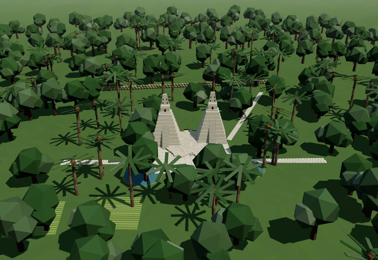
Tikal under the canopy: what lidar found
Seshat codes Late Classic Tikal (555–869) with a territory of 65 km², a population of 60,000 from 750 and a peak in 734–746. The lidar survey traces Tikal’s urban and peri-urban settlement over at least 76 km², “one of the largest continuous settlement zones in the Maya Lowlands”, with an urban core of about 700 structures per km². UNESCO’s record says the site was lived in from the sixth century BCE to the tenth century CE. 6,16 Seshat DB Consensus Survey
Tikal has the widest causeways in the survey, 80 m, and the most paved causeway inside a city, 0.19 km²: Late Classic causeways were mostly “grand entryways to public spaces”, a few hundred metres long. Its fields could not feed it: the Tikal, Naachtun, Xultun and Perú blocks “would not have been sufficient to sustain their populations” and relied on food from around them. 6 Consensus Survey
Tikal’s earthworks have been known since the 1960s; the lidar team found ditches, ramparts, walls and terraces across the survey “at a scale and quantity matched only by the Tikal earthworks and the monumental fortifications at Becan”. Defence did not simply follow density: some of the most densely settled blocks had no defences at all. 6 Consensus Survey
After the “star war” defeat of 562 Tikal raised no dated monument for 130 years. A Tikal king of these years is known only from a bowl found at Uaxactún, which calls him the vassal of the Snake king K’ahk’ Ti’ Ch’ich’; he fits nowhere in Tikal’s own count of kings, and Martin thinks he was “a compliant puppet disavowed by later generations of Tikal dynasts”. 2,5 Debated Texts
Calakmul’s Yuknoom Ch’een II first attacked and then supported “a breakaway from the Tikal dynasty at Dos Pilas”, and conquered Tikal itself in 657, which “checked the resurgence of his greatest rival”. Under his successors the balance turned: “defeats at the hands of Tikal coincided with a weakening grasp” on Calakmul’s allies and clients. 2 Consensus Texts
Jasaw Chan K’awiil (Stuart writes Hasaw Chan K’awil) dedicated Temple I. Its Lintel 3 records the thirteen-k’atun anniversary, in 695, of the death of Spearthrower Owl; the next lintel shows a seated Teotihuacan warrior under a Teotihuacan war serpent. A later king, Ruler C, took the name Nun Yax Ayin in remembrance of the king installed in 379: the Late Classic court kept its Teotihuacan founders in view. 3 Consensus Texts
From Jasaw Chan K’awiil onward, Bíró notes, Tikal’s accession statements name the kaloomte’ title, the overlord’s, while the emblem glyph stays with the ajaw title. 9 Consensus Texts
Seshat’s record for Late Classic Tikal has 28 coded values: it marks markets, canals, irrigation and drinking-water systems, a calendar and written records present, food storage sites “inferred absent”, and, oddly, script “absent” beside written records “present”. Its next polity is set to “Terminal Classic Tikal”, whose record is empty. 7 Seshat DB Consensus Texts
How power worked King · Heredity · City-state · 1 unknown
How power worked
- Who rules
- King Consensus
Why?
- How chosen
- Heredity Consensus
Why?
- Limits on power
- Unknown
Why?
No source read describes a council or law at Tikal that bound its kings; the inscriptions record the kings’ own acts.
- Scale
- City-state Consensus
Why?
- Claim to rule
- Divine mandate Consensus
Why?
- Who has a say
- A narrow elite Consensus
Why?
Tikal’s kings, as far as the sources read give them
Data: Stuart (1998), Martin (2005, 2024), Bíró (2011)
These are the Tikal reigns the sources read for this page give, not a full king list: there are gaps of decades between rows. For 3 of the 8 rows the source shows the ruler reigning but gives no accession, so the bar starts at the first year it names. After the defeat of 562 Tikal raised no dated monument for 130 years. 5
- Installed under a foreign lord
- his accession was overseen by a foreign lord, whose vassal he is called
- Child ruler with a co-ruler
- a six-year-old queen inaugurated together with an older king
- Son of an earlier king
- the son of an earlier king of the same line
- Vassal of a Snake king
- a king known only as another kingdom’s vassal
- Attested, accession not read
- the sources read show the ruler reigning in this year but do not give the accession
8 accessions: 1 installed under a foreign lord, 2 child ruler with a co-ruler, 1 son of an earlier king, 1 vassal of a snake king, 3 attested, accession not read; median reign 20 years. Ended: 1 died in office, 7 not known.
Marks at the end of a bar: ○ died in office · × killed · ▽ deposed · | abdicated · □ conquered
Show the table: Kings and a queen of Tikal, 379–695, as the sources read give them
| Ruler | Years | Came to power | Reign ended | Source |
|---|---|---|---|---|
| Nun Yax Ayin | 379 CE | Installed under a foreign lord | not known (a year after the arrival of Siyah K’ak’, whose y-ahaw (“the lord of”) he is called; son of Spearthrower Owl, not of the last king, Jaguar Paw, who died the day Siyah K’ak’ arrived; perhaps a boy (Stela 31)) | 3 |
| Siyah Chan K’awil (Stormy Sky) | 439 CE | Attested, accession not read | not known (Nun Yax Ayin’s son; reigning when his grandfather Spearthrower Owl died (9.0.3.9.18, 439)) | 3 |
| Chak Tok Ich’aak II | 488 CE – 508 CE | Attested, accession not read | died in office (the eighteenth king; shown as king on Stela 3 from 488, two years after a childhood rite; died 508) | 5 |
| Lady of Tikal | 511 CE | Child ruler with a co-ruler | not known (inaugurated as ajaw at six, three years after Chak Tok Ich’aak II’s death, “in association with an older male”) | 5 |
| Kaloomte’ Bahlam | 511 CE | Child ruler with a co-ruler | not known (“said to be Tikal’s nineteenth king”, the Lady of Tikal’s older co-ruler; Martin sees no schism: their monuments stayed in the Great Plaza) | 5 |
| Wak Chan K’awiil (Double Bird) | 537 CE | Son of an earlier king | not known (the twenty-first king, son of Chak Tok Ich’aak II; Stela 17 is believed to place his installation in 537, after an “arrival”; defeated in the “star war” of 562) | 5,2 |
| Unnamed vassal king | 562 CE | Vassal of a Snake king | not known (known only from a bowl at Uaxactún as the yajaw of the Snake king K’ahk’ Ti’ Ch’ich’; fits nowhere in Tikal’s own count; after 562 at the earliest (Martin’s reading)) | 2 |
| Jasaw Chan K’awiil (Hasaw Chan K’awil) | 695 CE | Attested, accession not read | not known (dedicated Temple I, whose Lintel 3 marks the thirteen-k’atun anniversary of Spearthrower Owl’s death in 695; from him on, Tikal’s accession formulas name the kaloomte’ title) | 3,9 |
Calakmul: the Kaanul kings550 CE – 751 CECalakmul (Uxte’tuun), Campeche, Mexico
The Snake (kaanul) kingdom ruled first from Dzibanche and, after a civil war, from Calakmul, whose kings called themselves k’uhul kaanul ajaw, “Holy Snake Lord”. Its network of client kings across the southern lowlands was the largest the inscriptions record. Most of Calakmul’s own stelae have weathered blank, so its history is read mostly from the outside in.
Terms: The Maya: Classic kings to the League of Mayapán: Overkings and their vassals, Calakmul: the Kaanul kings
- k’uhul kaanul ajaw “Holy Snake[-Place] Lord”, the Snake kings’ emblem title (Martin keeps the spelling kaanul; kaanu’ul has been proposed) 2
- uxte’tuun “Three Stones”, the place-name of Calakmul, used in the title uxte’tuun kaloomte’ 2
- chiiknahb “? Pool”, a second Calakmul place-name, used in chiiknahb ajaw 2
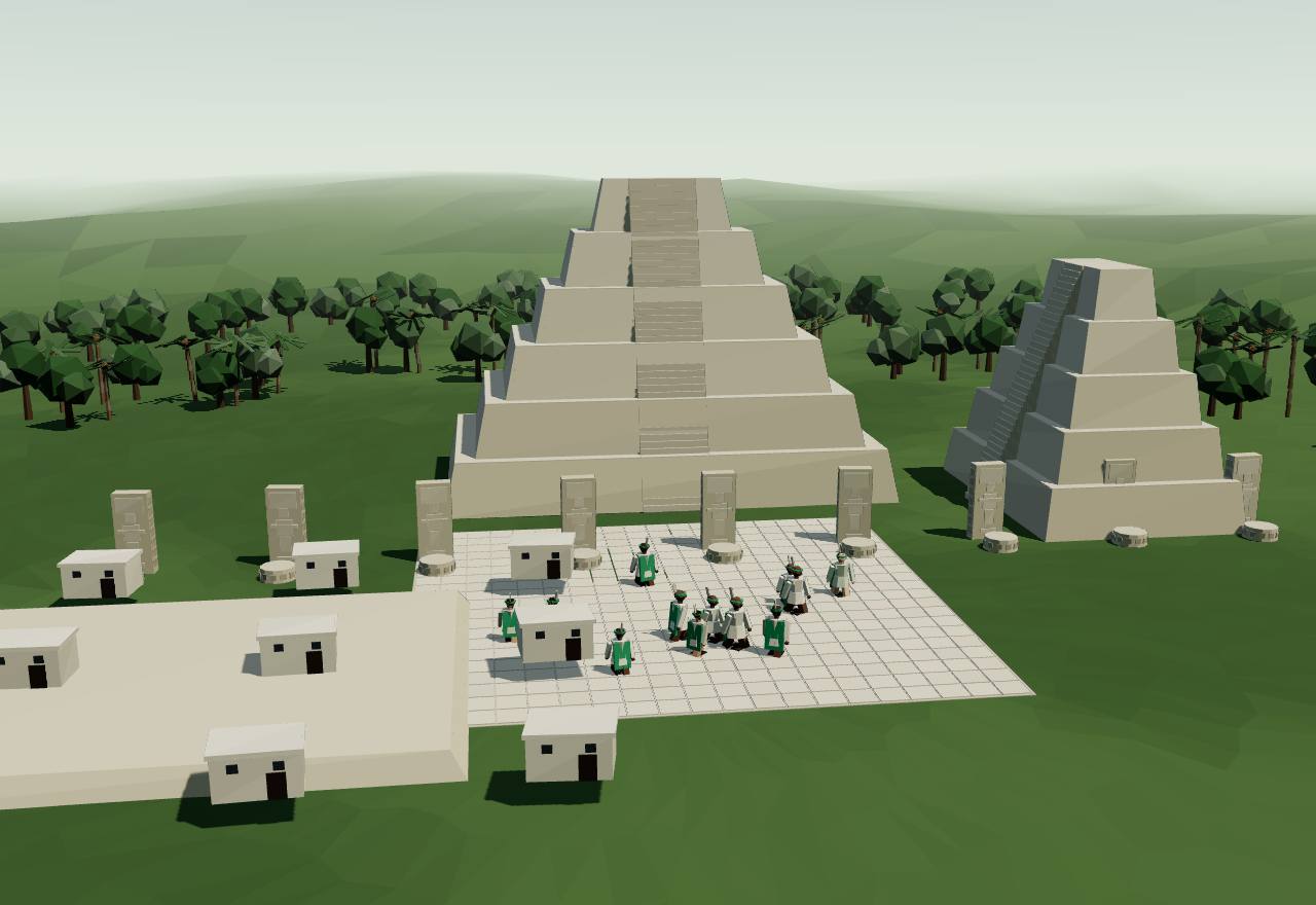
Calakmul: Structure II and the courts of the Snake kings
Calakmul has more monuments than any other Classic Maya site, but weathering has stripped “the great majority of well over one hundred stelae clean of legible text”: Yuknoom Ch’een II put up as many as 23 stelae there and not one bears a legible name. Its history is known “from the outside in”, from rivals, allies and clients, and from texts buried in fill and tombs since the INAH project began digging in 1993. 2 Consensus Texts Excavation
Calakmul was “already an ancient city active from at least 400 B.C. onward”: its two largest pyramids, Structures I and II, began in the Preclassic. UNESCO’s record says it played a key role in its region “for more than twelve centuries”. 2,24 Consensus Excavation
A panel found at Xunantunich in 2016, part of a stairway once at Caracol, states the move of the Snake seat in so many words: “Power is negated in the midst of Snake-Place, power is formed at Uxte’tuun.” A civil war followed the death of Tajoom Uk’ab K’ahk’ II in 630: in 636 a Snake lord, Yuknoom Head, defeated the Dzibanche king, who died in 640, probably executed, and 58 days after the battle Yuknoom Ch’een II acceded at Calakmul. 2 Consensus Texts
Calakmul’s kings counted afresh: Yuknoom Took’ K’awiil is the “third placed in order”, his predecessor the “second”, so Yuknoom Ch’een II was the founder of a “reconstituted” kingdom. Was he a usurper? Martin finds a hint of descent: Stela 33, which he had erected in front of Structure V in 657, follows a long passage on the earlier Snake king Scroll Serpent and his queen with the date of Yuknoom Ch’een’s birth in 600, so he may have been their son. 2 Debated Texts
Painted “Dynastic Vases” list the Snake kings: the largest, K6751, names Rulers 1 to 19 with the verb for “taking k’awiil”, the act of accession. Their dates are inconsistent and some were spoiled by “illicit restoration work”, yet one matches: the 7 Lamat 6 Uo given for Ruler 16 is the day K’ahk’ Ti’ Ch’ich’ was seated in 550, a chance Martin puts at 18,980 to 1. The twelve whole vases are in public and private collections; three sherds excavated at Calakmul are the first recovered archaeologically. 2 Debated Texts Excavation
From Calakmul, Yuknoom Ch’een II kept Dzibanche’s clients and added more: he installed kings at Cancuén and Moral-Reforma, on river routes to the south and west, and after taking Tikal in 657 appears as overking at Piedras Negras, Uxul, Zapote Bobal, La Corona and El Perú. His reign lasted 50 years, to 685 or 686. 2 Consensus Texts
His successors “maintained the basic structure of the Snake ‘imperium’ for several decades more”, but the network “progressively wasted away”; by 751 the old Bat emblem was back at Calakmul “amid other signs of political crisis”. On the evidence so far the Snake kings stayed at Calakmul for “little more than 115 years”. 2 Consensus Texts
How power worked King · Heredity · Empire · 1 unknown
How power worked
- Who rules
- King Consensus
Why?
- How chosen
- Heredity Debated
Why?
- Limits on power
- Unknown
Why?
No source read says what bound the Snake kings at home; the texts read describe their wars, clients and accessions.
- Scale
- Empire Debated
Why?
- Claim to rule
- Divine mandate Consensus
Why?
- Who has a say
- A narrow elite Consensus
Why?
The Snake kings, from Dzibanche to Calakmul
Data: Martin (2024), from monuments across the lowlands
The Snake kings ruled from Dzibanche until the civil war of the 630s, then from Calakmul. Their own painted king list survives on the Dynastic Vases, but its dates are inconsistent and do not match the monuments, so the rows below come from carved texts across the lowlands, read by Martin. Two reigns overlap in 561–568, which may mean two kings ruled at once; in 636–640 rival kings reigned at Dzibanche and Calakmul. 2
- Seated as kaloomte’
- seated into the high overlord’s title, kaloomte’
- Accession recorded
- the accession date is carved on a later monument
- After a civil war
- came to power in the weeks after a battle between two branches of the dynasty
- Son of the last king
- the son of an earlier king of the same line
- Attested, accession not read
- the sources read show the ruler reigning in this year but do not give the accession
10 accessions: 1 seated as kaloomte’, 1 accession recorded, 1 after a civil war, 1 son of the last king, 6 attested, accession not read; median reign 15 years. Ended: 3 died in office, 1 killed, 6 not known.
Marks at the end of a bar: ○ died in office · × killed · ▽ deposed · | abdicated · □ conquered
Show the table: The Snake (kaanul) kings, at Dzibanche and then Calakmul, 520–686
| Ruler | Years | Came to power | Reign ended | Source |
|---|---|---|---|---|
| Tuun K’ab Hix | 520 CE | Attested, accession not read | not known (attested in 520 (a daughter, at La Corona), 537 (Yaxchilan) and 546 (Naranjo); the first of Naranjo’s four Snake overlords) | 2 |
| K’ahk’ Ti’ Ch’ich’ (Aj Saakil) | 550 CE – 568 CE | Seated as kaloomte’ | not known (“seating into kaloomte’-ship” at Dzibanche on 7 Lamat 6 Uo, 550, the same Calendar Round the Dynastic Vase K6751 gives Ruler 16; attested to 568 (Chochkitam); probably the victor over Tikal in 562) | 2 |
| Sky Witness | 561 CE – 572 CE | Attested, accession not read | not known (attested 561 and 572 (and perhaps 599); his reign overlaps K’ahk’ Ti’ Ch’ich’s, “raising the prospect of a dual kingship system”) | 2 |
| Yuknoom Ti’ Chan (or Yax Yopaat) | 573 CE | Attested, accession not read | not known (Ruler 18 on K6751; a Dzibanche stairway of the 573 period ending names a king like Yax Yopaat; whether they are one man is unknown) | 2 |
| Scroll Serpent | 579 CE – 611 CE | Accession recorded | died in office (acceded 9.7.5.14.17 (579), recorded on Calakmul Stela 33; attested to 611; died a “4-K’atun Ajaw”, aged 59 to 79) | 2 |
| Yuknoom Ti’ Chan II | 619 CE | Attested, accession not read | not known (known only from Caracol, as the overking who installed a Caracol ruler in 619) | 2 |
| Tajoom Uk’ab K’ahk’ II | 622 CE – 630 CE | Attested, accession not read | died in office (a protagonist of events of 622–630 on Caracol monuments; his demise in 630 opened the civil war) | 2 |
| Waxaklajuun Ubaah Kaan | 636 CE – 640 CE | Attested, accession not read | killed (the reigning Dzibanche king when Yuknoom Head defeated him in 636; died 640, in what the term used suggests was “an execution or ritual killing”) | 2 |
| Yuknoom Ch’een II | 636 CE – 686 CE | After a civil war | died in office (acceded 58 days after the battle of 636; founder of the “short dynastic count” at Calakmul; probably Scroll Serpent’s son (born 600); reign of 50 years, ended in 685 or 686) | 2 |
| Yuknoom Yich’aak K’ahk’ II | 686 CE | Son of the last king | not known (“second placed in order” of the short count; already a holy lord at 14 in 662; Yuknoom Ch’een II was his “probable father”; Tomb 4 of Structure II is almost certainly his) | 2 |
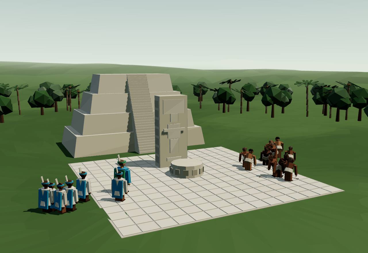
Calakmul, 657: a new stela for Yuknoom Ch’een II
Copán550 CE – 800 CECopán, Honduras
At the south-eastern edge of the Maya world, Copán kept one royal dynasty from 426 to 822. In the eighth century its kings shared the stage: royal brothers were seated in office, lineage heads in the valley carved their own benches, and a building on the Acropolis has been read as a council house, a popol nah. What those changes meant is argued.
Terms: The Maya: Classic kings to the League of Mayapán: Overkings and their vassals, Copán
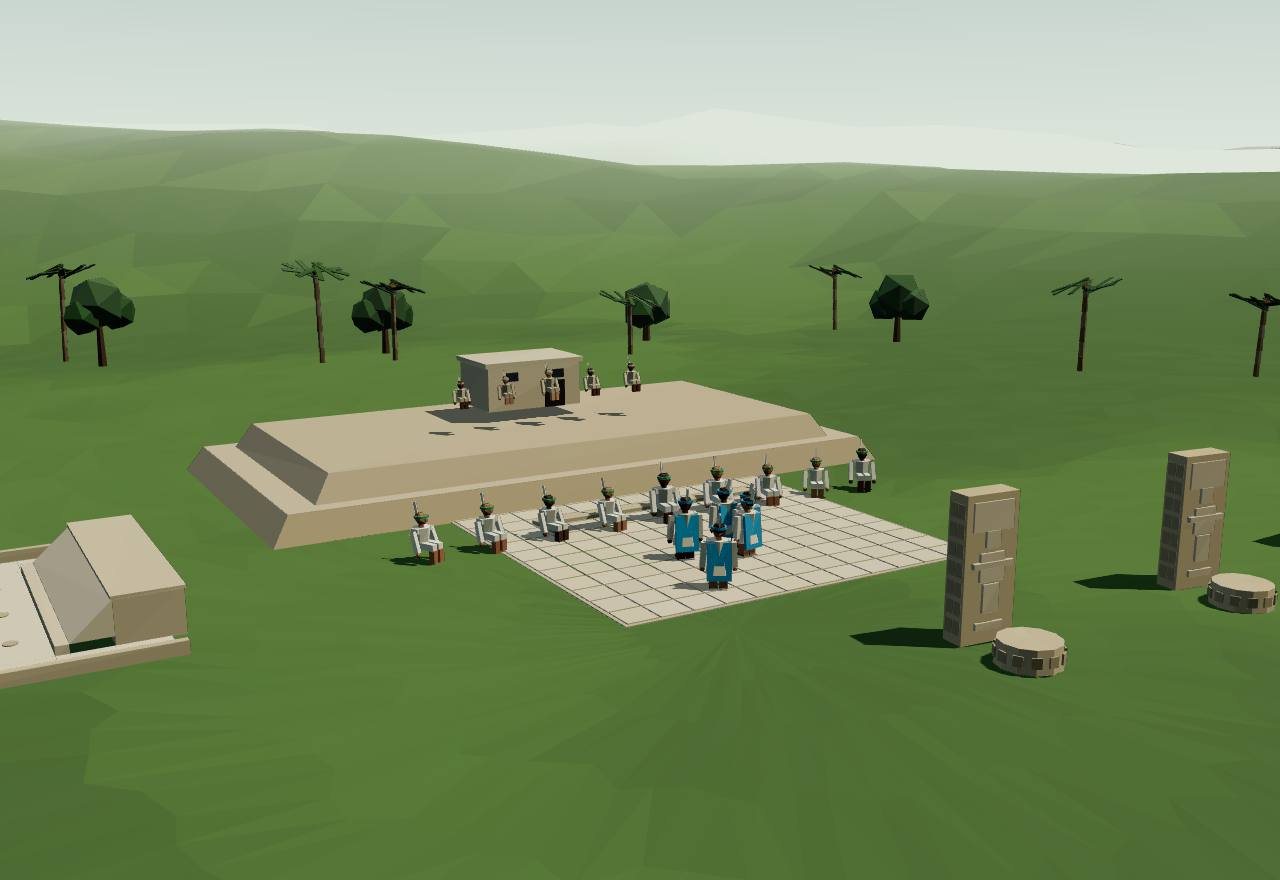
Copán: the court of the council house
Copán’s ruins were described by Diego García de Palacio in 1570 but not excavated until the nineteenth century; UNESCO’s record traces three main stages of development “before the city was abandoned in the early 10th century”. Its royal dynasty ran from its foundation in 426 to its collapse in 822 (Viel). 20,11 Consensus Excavation Texts
On Copán’s Stela A, Heinrich Berlin found in 1958 the emblem glyphs of Tikal, Palenque, Copán and a fourth he could not place. Barthel read the four as a model aligned to the cardinal directions; Marcus proposed tiers of dependent centres under such capitals; the fourth proved to be the Snake kingdom’s. 2 Consensus Texts
Copán, like Tikal, shows intensive contact with central Mexico, Stuart writes, and its hieroglyphic texts are among those he reads for “a more detailed historical context” of the Teotihuacan encounter. 3 Consensus Texts Read more: Teotihuacan (Central Mexico)
Spanish writers described, in the centre of Maya towns, a building used for many things, from a lodging for men and boys to a council house. At Copán, Cheek identifies two probable such popol nahs, Structures 10L-223 and 10L-22A, and reads their differences in place and form as a sign of competing lineages and of later rulers turning an old multi-purpose building to their own political ends. 25 Debated Excavation Texts
Barbara Fash identified Structure 22A on the Acropolis as a popol-na, “a house for meetings of a governing council”, from the lords carved on its façade and glyphs including the place sign nal. William Fash explained it as a response by Copán’s later kings to elites “increasingly dissatisfied with their ruler’s inability to overcome adverse ecological and economical conditions”, who were brought into “an experimental administrative council” (as Bardsley summarises them). 26 Debated Excavation Texts
In the late eighth century, under the king Yax-Pas, up to four royal siblings are named on altars and steps, several “seated” in office on the same day as the king; carved benches in the suburbs record rites by lineage heads who were not royal. Bardsley, once convinced these were signs of discord, came to read them as the ordinary relations between the royal lineage and the lineages of the valley. 26 Debated Texts Excavation
Viel’s model, from the pectorals worn by the lords on Altar Q and Structure 11, is bolder: a diarchy of ruler and co-ruler drawn in turn from two groups, priests and warriors, with four ministers and four war captains, “counterbalanced by a council of nine lords”. It is one reading of the images, not a record. 11 Speculative Texts
Quiriguá became, under its king Cauac Sky (723–84) “the capital of an autonomous and prosperous state”, UNESCO records, with an outstanding series of eighth-century carved stelae. 27 Consensus Excavation
How power worked King · Heredity · Council
How power worked
- Who rules
- King Consensus
Why?
- How chosen
- Heredity Debated
Why?
- Limits on power
- Council Debated
Why?
- Scale
- City-state Consensus
Why?
- Claim to rule
- Divine mandate Consensus
Why?
- Who has a say
- Lineage heads Debated
Why?
Who answered to whom: the overlords in the inscriptions
Data: statements read on named monuments by Martin (2005, 2024) and Stuart (1998)
Each line is one statement an epigrapher reads on a named monument: a king called the yajaw, “vassal”, of another; an accession “under the aegis” of a foreign king; or an attack. The record is fragmentary (most of Calakmul’s own stelae are illegible), so an empty map means no statement survives, not that no tie existed. 2
- arrow from a vassal or installed king to the overlord
- arrow from the attacker to the attacked
378–550: Teotihuacan’s arrival: 3 statements (3 vassal, 0 installed or seated, 0 attacks); the overlord with most named clients: Teotihuacan (1).
550–635: the Snake kings at Dzibanche: 12 statements (4 vassal, 3 installed or seated, 5 attacks); the overlord with most named clients: Dzibanche (6).
636–700: Calakmul: 11 statements (6 vassal, 2 installed or seated, 3 attacks); the overlord with most named clients: Calakmul (8).
700–800: the network wastes away: 1 statements (0 vassal, 0 installed or seated, 1 attacks).
| Years | Who answered to whom | What the text says | Monument |
|---|---|---|---|
| 379 | Tikal vassal of Teotihuacan | Tikal’s new king Nun Yax Ayin is called y-ahaw, “the lord of”, Siyah K’ak’, the stranger who had arrived the year before; Stuart reads Siyah K’ak’ as a foreigner tied to Teotihuacan. 3 | Tikal Stela 4 and Stela 31 |
| 379in the years after 378 | Bejucal vassal of Tikal | Siyah K’ak’ “may have also been dominant over the local ruler of Bejucal, a small site on Tikal’s periphery”. 3 | Bejucal Stela 1 |
| 553 | Caracol king installed or seated under Tikal | Yajaw Te’ K’inich II of Caracol “is seated in rulership”, and the ceremony took place “under the aegis of the ruler of Tikal”, its twenty-first king, Double Bird. 5 | Caracol Altar 21 and Stela 6 |
| 556 | Tikal attacked Caracol | An “axe” event in which “Tikal is clearly the aggressor”; the victim’s name is damaged, so whether Caracol itself was struck “we may never know for sure”. 5 | Caracol Altar 21 |
| 556–564a king who came to power in 556; the stela is of 564 | El Perú vassal of Dzibanche | K’ahk’ Ti’ Ch’ich’, the Snake king seated as kaloomte’ in 550, is “said to be the overlord of an El Peru king who came to power in A.D. 556”. 2 | El Perú Stela 44 |
| 561 | Los Alacranes king installed or seated under Dzibanche | The Snake king Sky Witness “supervised the elevation of a Los Alacranes king in 561”. 2 | Los Alacranes (Grube 2008, cited by Martin) |
| 562 | Dzibanche attacked Tikal | Tikal’s twenty-first king suffered a “star war” defeat; the victor’s name is effaced, but its outlines fit a kaanul king, and Vepretskii makes the case that it was K’ahk’ Ti’ Ch’ich’. No monuments were raised at Tikal for the next 130 years. 2,5 | Caracol Altar 21 |
| 562–568after the defeat of 562; K’ahk’ Ti’ Ch’ich’ is last attested in 568 | Tikal vassal of Dzibanche | A bowl’s owner, a Tikal king whose name fits nowhere in Tikal’s own count of kings, is called the yajaw, “vassal”, of K’ahk’ Ti’ Ch’ich’: “most likely … a compliant puppet disavowed by later generations”. 2 | Polychrome bowl, Uaxactún Burial 23 |
| 546–611four reigns, from Tuun K’ab Hix (at Naranjo in 546) to Scroll Serpent (to 611 or later) | Naranjo vassal of Dzibanche | A Naranjo stela lists “four Snake overlords of Naranjo”, “four placed in order holy Snake lords”: Tuun K’ab Hix, Aj Saakil, Sky Witness and Scroll Serpent. 2 | Naranjo Stela 47 |
| 579 | La Milpa vassal of Dzibanche | “A record of his accession on La Milpa Stela 12 clearly implies his dominion there”: Scroll Serpent, who came to the Snake throne in 579. 2 | La Milpa Stela 12 |
| 599 | Dzibanche attacked Palenque | Sky Witness is credited with an attack on Palenque in 599, the first of two Snake assaults on a city 382 km away: “the two longest military expeditions known in Maya history”. 2 | Palenque, Temple of the Inscriptions (as Martin cites it) |
| 611 | Dzibanche attacked Palenque | Scroll Serpent is the protagonist of a ch’ahkaj attack on Palenque’s capital, Lakamha’, in 611; Palenque then raised no known monument before 647. 2 | Palenque, Temple of the Inscriptions, East Panel |
| 619 | Caracol king installed or seated under Dzibanche | Yuknoom Ti’ Chan II “is referenced as another overking, installing a Caracol ruler in 619”. 2 | Caracol monuments (as Martin cites them) |
| 631 | Calakmul attacked Naranjo | In the Snake civil war, Yuknoom Head seized Naranjo in 631; allied fighters from Calakmul took part, the first time the Calakmul place-names are tied to a Snake lord. 2 | Caracol Hieroglyphic Stairway |
| 636 | Calakmul attacked Dzibanche | Yuknoom Head defeated the reigning Dzibanche king, Waxaklajuun Ubaah Kaan, 58 days before Yuknoom Ch’een II’s accession at Calakmul; the defeated king died in 640, probably executed. 2 | Caracol Hieroglyphic Stairway |
| 636–686in Yuknoom Ch’een II’s reign (636–686) | Dos Pilas vassal of Calakmul | Calakmul first assaulted and then supported “a breakaway from the Tikal dynasty at Dos Pilas”. 2 | Dos Pilas (as Martin summarises it) |
| 636–686in Yuknoom Ch’een II’s reign (636–686) | Cancuén king installed or seated under Calakmul | Yuknoom Ch’een II installed kings at Cancuén and Moral-Reforma, astride river highways to the south and west. 2 | Cancuén (as Martin summarises it) |
| 636–686in Yuknoom Ch’een II’s reign (636–686) | Moral-Reforma king installed or seated under Calakmul | Yuknoom Ch’een II installed kings at Cancuén and Moral-Reforma, astride river highways to the south and west. 2 | Moral-Reforma (as Martin summarises it) |
| 657 | Calakmul attacked Tikal | “His conquest of Tikal in 657 checked the resurgence of his greatest rival.” 2 | (as Martin summarises it) |
| 657–686after 657, in Yuknoom Ch’een II’s reign | Piedras Negras vassal of Calakmul | “It is only after this signal triumph that we see evidence for his overking status at a range of other sites, including Piedras Negras, Uxul, Zapote Bobal, La Corona, and El Peru.” 2 | (as Martin summarises it) |
| 657–686after 657, in Yuknoom Ch’een II’s reign | Uxul vassal of Calakmul | “It is only after this signal triumph that we see evidence for his overking status at a range of other sites, including Piedras Negras, Uxul, Zapote Bobal, La Corona, and El Peru.” 2 | (as Martin summarises it) |
| 657–686after 657, in Yuknoom Ch’een II’s reign | Zapote Bobal vassal of Calakmul | “It is only after this signal triumph that we see evidence for his overking status at a range of other sites, including Piedras Negras, Uxul, Zapote Bobal, La Corona, and El Peru.” 2 | (as Martin summarises it) |
| 657–686after 657, in Yuknoom Ch’een II’s reign | La Corona vassal of Calakmul | “It is only after this signal triumph that we see evidence for his overking status at a range of other sites, including Piedras Negras, Uxul, Zapote Bobal, La Corona, and El Peru.” 2 | (as Martin summarises it) |
| 657–686after 657, in Yuknoom Ch’een II’s reign | El Perú vassal of Calakmul | “It is only after this signal triumph that we see evidence for his overking status at a range of other sites, including Piedras Negras, Uxul, Zapote Bobal, La Corona, and El Peru.” 2 | (as Martin summarises it) |
| 686–751under Yuknoom Ch’een II’s successors, before the crisis of 751 | Tikal attacked Calakmul | “Defeats at the hands of Tikal coincided with a weakening grasp on its allies and clients”; by 751 the old Bat emblem was back at Calakmul. 2 | (as Martin summarises it) |
800 CE – 950 CE
The Classic collapse
Between about 750 and 950 the kingdoms of the southern lowlands failed one after another: no more stelae, no more kings, and in the end cities left to the forest. Climate records show a drying trend and severe drought in these centuries; whether drought caused the fall or only added to strains already there is argued. In the north, Uxmal and Chichén Itzá grew while the south emptied.
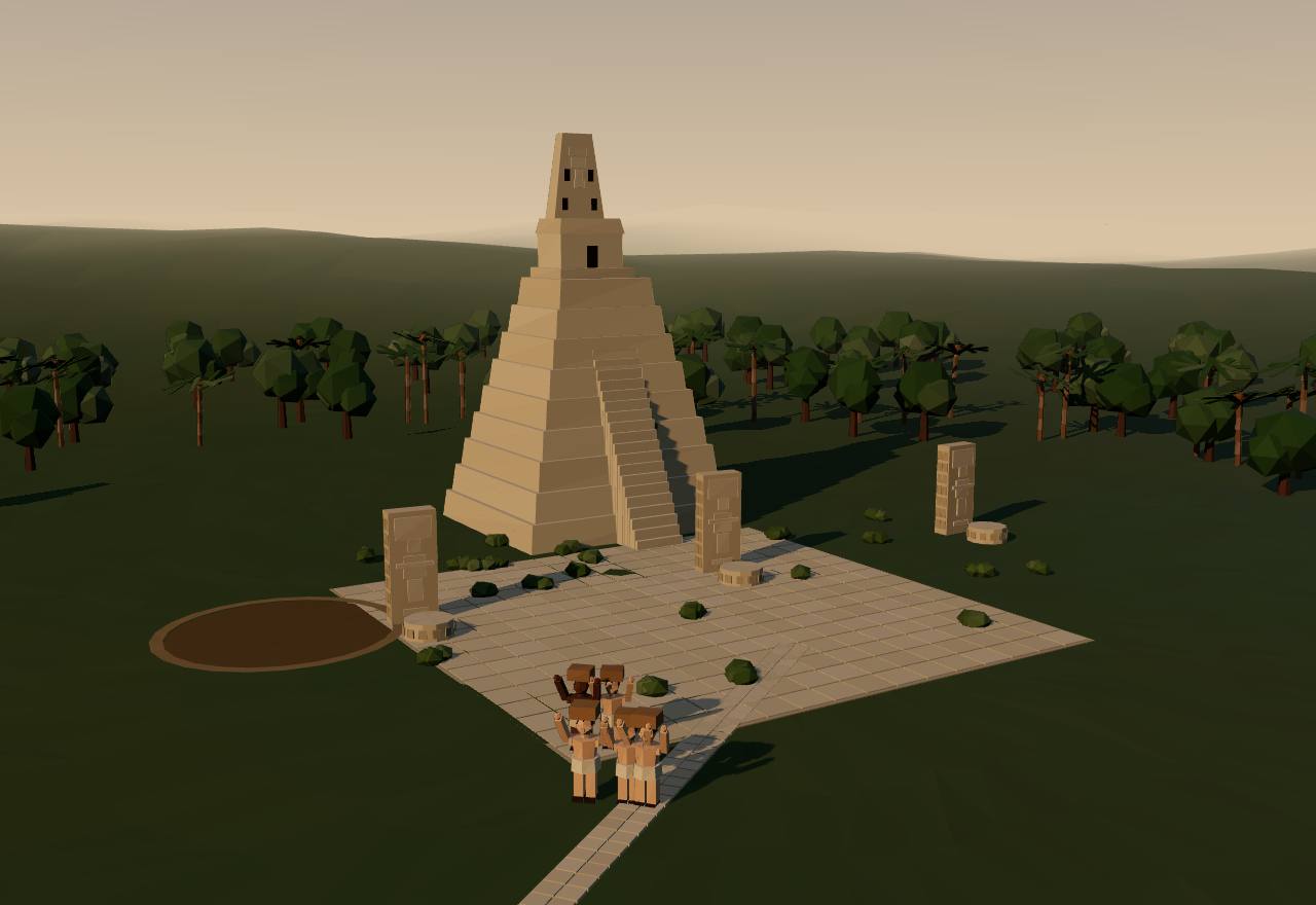
A lowland city emptying, ninth century
The kingdoms did not fall together. Calakmul’s Snake network had “progressively wasted away” by 751, when the old Bat emblem returned there; Copán’s royal dynasty collapsed in 822 and the city was abandoned in the early tenth century; Seshat’s Late Classic Tikal ends in 869. Kennett and colleagues call it “the asynchronous disintegration of polities”. 2,11,20,28 Seshat DB Consensus Texts Dating
Kennett and colleagues set a precisely dated, “subannual” climate record for the past 2,000 years, from Yok Balum Cave in Belize, against events on dated monuments: “anomalously high rainfall” between 440 and 660 favoured “unprecedented population expansion and the proliferation of political centers”; a drying trend from 660 to 1000 “triggered the balkanization of polities, increased warfare, and the asynchronous disintegration of polities”, followed by population collapse in “an extended drought between 1020 and 1100”. 28 Debated Dating Texts
From the water bound into gypsum laid down in drought at Lake Chichancanab, Mexico, Evans and colleagues estimate that during the Terminal Classic (about 800–1000) annual rainfall fell by 41 to 54 per cent, “with intervals of up to 70% rainfall reduction during peak drought conditions”, and relative humidity by 2 to 7 per cent. 29 Debated Dating
Turner and Sabloff describe the ninth-century collapse of the central lowlands as “the result of complex human–environment interactions”: heavy demands on land and resources, “amplified by increasing climatic aridity”; trade shifting from routes across the peninsula to the sea around it; growing conflict and “diminished control by the Maya elite”; and decisions to move rather than maintain the old systems. The forest largely recovered; “the population never recovered”. 30 Debated Texts
War was rising before the end. The lidar survey found defensive works across the northern Petén at a scale “matched only by the Tikal earthworks” and Becan, and Chase and Chase, from Caracol, argue that changes in warfare mattered for the end of the Classic period (their abstract is in Spanish). 6,23 Consensus Survey Texts
As the south failed, people moved. In the Terminal Classic, 800–1000, Kennett and colleagues write, the towns and cities of the northern and coastal peninsula, among them Uxmal and Chichén Itzá, “were magnets for Maya settlement”, before their own decline in the eleventh-century drought. UNESCO dates Uxmal’s buildings to 700–1000 and its population to some 25,000. 4,31 Consensus Survey Dating
Seshat codes no polity for these centuries: its records for Terminal Classic Tikal (870–950), Early Postclassic Tikal (951–1250) and “Classic Maya” (550–950) are empty, so this phase has no Seshat chart. 7 Consensus Texts
How power worked King · City-state · A narrow elite · 3 unknown
How power worked
- Who rules
- King Debated
Why?
- How chosen
- Unknown
Why?
The sources read on the collapse describe failing kingdoms, not how their last rulers came to power.
- Limits on power
- Unknown
Why?
No source read says whether councils or other checks grew or weakened as the kingdoms failed; Turner and Sabloff speak only of “diminished control by the Maya elite”.
- Scale
- City-state Debated
Why?
- Claim to rule
- Unknown
Why?
Whether the holy lords lost their claim before they lost their kingdoms is not something the sources read can say.
- Who has a say
- A narrow elite Debated
Why?
Drought and the end of kingdoms
Data: intervals and figures as Kennett et al. (2012, 2022) and Evans et al. (2018) state them; end dates as cited
Above the axis, when kingdoms ended; below it, the wet, drying and drought intervals the climate papers state. At Lake Chichancanab in the Terminal Classic, annual rainfall fell by 41 to 54 per cent, up to 70 per cent at the peak. 29 A coincidence in time is not a cause: Turner and Sabloff read the drought as one strain among several. 30
Scroll the chart sideways →
- wetter
- drying trend
- drought
- a kingdom’s end, as cited
- 751: Calakmul: the Bat emblem returns “amid other signs of political crisis”. 2 In: drying trend, 660–1000.
- 822: Copán: the royal dynasty collapses. 11 In: drying trend, 660–1000; Terminal Classic drought, c. 800–1000.
- 869: Tikal: Seshat’s Late Classic polity ends. Seshat DB In: drying trend, 660–1000; Terminal Classic drought, c. 800–1000.
- 1000–1100: Chichén Itzá’s demise, “between 1000 and 1100”. 4 In: drying trend, 660–1000; Terminal Classic drought, c. 800–1000.
- 1441–1461: Mayapán: the Cocom massacred, the city abandoned. 4 In: drying after 1340.
Intervals: 440–660, 660–1000, 800–1000, 1020–1100, 1340–1450, 1397–1427. 28,29,4
950 CE – 1517 CE
Chichén Itzá, Mayapán and the provinces
Power moved north to the dry plains of Yucatán. Chichén Itzá, remembered as ruled by three brothers, dominated the north until its decline in the eleventh century; then Mayapán, a walled city of lords from many lineages, led a confederacy until it was torn apart around 1450 by a feud between its leading houses, the Cocom and the Xiu. When Spanish ships reached the coast in 1517, the peninsula was divided among some fifteen states.
For these centuries the evidence changes. Classic-style dated monuments give way to memory written down after the Spanish conquest: the Franciscan Diego de Landa’s account of Yucatán, written around 1566, and the Books of Chilam Balam, Maya chronicles that count time in k’atuns. Landa took much from Juan Nachi Cocom, and his editor Tozzer warns that he “is inclined to overestimate the importance of the Cocom dynasty”. Archaeology at Mayapán now tests these memories. 1,4 Consensus Texts
Mayapán “emerged as a regional capital on the Yucatán Peninsula, following the demise of Chichen Itza between 1000 and 1100 cal. CE”; it was established by 1150 and governed from at least 1100 to 1450. Many political families and smaller polities that outlived Chichén were reintegrated into the Mayapán confederacy, especially in the north-west. 4 Consensus Dating Excavation
Masson and Peraza Lope call Mayapán the “primate political capital of an extensive regional confederation”. Its power, following Roys, “was tightly consolidated over the territories of Ah Canul, Cupul, Tases, and Cochuah”, while Chikinchel and Ecab were probably independent; subject towns paid tribute in maize, honey, fish, cloth, birds and game, and its governors drafted subjects for war. 32 Debated Texts Excavation
Postclassic Maya building had four main types: hall, shrine, oratory and temple. The commonest, the hall, was a long narrow building open at the front or fronted with columns, with low benches round the back and side walls; in Yucatán the colonnaded front room was a gathering place, and halls have been read as residences, men’s houses or council houses, popol najs. 33 Consensus Excavation
Mayapán’s fall scattered its people. Many fled south to the lakes of Petén, Rice, Rice and Pugh write, bringing their temple architecture with them: Itza and Kowoj lineages, the Kowoj allied to the Xiu. A Kowoj noble had been “guardian of the east gate” of Mayapán’s wall, according to the Chilam Balam of Chumayel. 33 Consensus Excavation Texts
After Mayapán, “the social and political landscape of the Yucatán Peninsula was also reorganized into a network of smaller states that were politically independent, but economically interwoven”; maritime trade thrived, with large canoes carrying salt and chocolate round the coast. At European contact the peninsula “was divided into 15 states, some with developed hierarchies and kings (halach winik) and others more loosely organized”. 4 Consensus Texts Excavation
Chichén Itzá950 CE – 1100 CEChichén Itzá, Yucatán, Mexico
The great city of the northern plains, with its Castillo, Temple of the Warriors and sacred well. Later Maya remembered that all the land had once paid tribute to its rulers, and that three brothers had ruled it; modern scholars have read that memory as a joint rule. It declined in the eleventh century.
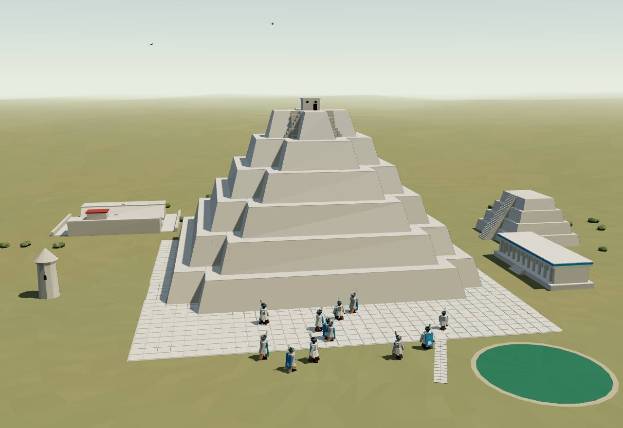
Chichén Itzá: El Castillo and the Sacred Cenote
UNESCO’s record calls Chichén Itzá one of the greatest Maya centres of the peninsula, with a “nearly 1,000-year history” in which “different peoples have left their mark”: its buildings fuse Maya construction with “new elements from central Mexico”. Among those standing are the Temple of the Warriors, El Castillo and the round observatory, El Caracol. 34 Consensus Excavation
Landa wrote, about 1566, that Chichén Itzá “was ruled by three lords who were brothers who came into that country from the west, who were very devout and so they built very beautiful temples”; one died or went away, and the other two “acted unjustly and indecently and for this they were put to death”. His editor Tozzer places the story in the city’s “Mexican period”, since the brothers are said to have built the Castillo. 1 Speculative Texts
Modern readers took the brothers as a model of shared rule. Bardsley reports that Copán’s seated royal brothers “have been compared as like-in-kind to the apparent joint rule by brothers of Kak-u-pakal of Chichen Itza”, a “joint-rule or multepal of brothers”; she objects that “there is no textual record of the presumed accessions of Chichen’s brothers” and that the comparison spans time and space with no allowance for regional change. 26 Debated Texts
Spanish-era writers remembered Chichén as an overlord: “Once all this land was under the rule of a lord who kept his state in the ancient city of Chichen Itza to whom were tributary all the lords of this province and even beyond the province”, and “their rule lasted more than two hundred years” (passages Tozzer cites in his notes). 1 Speculative Texts
Landa describes the well “into which they threw living men in sacrifice”, “more than seven stadia deep down to the water” and over a hundred feet across. Tozzer’s notes add that many beads, mostly of jade, were recovered from this Cenote of Sacrifice. 1 Consensus Texts Excavation
Who the Itza of Chichén were is unresolved. Tozzer set out the possibilities: that they were “foreigners” who arrived about 1000 with new ideas in art and architecture, as Roys and Thompson held, or Chontal-speaking Maya, and “none … can be absolutely proved or disproved”. 1 Debated Texts
Chichén’s polity ended between 1000 and 1100, in “political and demographic decline” that coincides with evidence of drought in the eleventh century. In the later tradition Tozzer summarises, a Cocom of Mayapán, possibly Hunac Ceel, brought in Mexican troops and conquered Chichén, about 1200. 4,1 Debated Dating Texts
How power worked Council of elders or heads · Territorial state · A narrow elite · 3 unknown
How power worked
- Who rules
- Council of elders or heads Speculative
Why?
- How chosen
- Unknown
Why?
No source read says how Chichén Itzá’s rulers were chosen; Landa’s three brothers simply “came into that country from the west”.
- Limits on power
- Unknown
Why?
Landa’s story has two brothers put to death for acting “unjustly and indecently”, but by whom, and under what rule, it does not say.
- Scale
- Territorial state Speculative
Why?
- Claim to rule
- Unknown
Why?
No source read says on what Chichén Itzá’s rulers based their claim; Landa’s account is a later tradition.
- Who has a say
- A narrow elite Speculative
Why?
Mayapán1100 CE – 1461 CEMayapán, Yucatán, Mexico
A walled city of about 4 km² round the Temple of K’uk’ulkan, where the lords of the confederacy lived for at least part of the year, each with his own house and his steward. A ruling council of noble houses, the Cocom, the Xiu, the Chel and others, governed it; the Cocom held first place. Drought, famine and feuds ended it in a massacre of the Cocom between 1441 and 1461.
Terms: The Maya: Classic kings to the League of Mayapán: Chichén Itzá, Mayapán and the provinces, Mayapán
- multepal “council rule”: the scholars’ term for Mayapán’s joint government (printed by Hutchinson and by Bardsley; not found in Landa or in Tozzer’s 1941 text) 35,26
- caluac the steward each lord kept at Mayapán, who carried a short thick stick and kept accounts with the lord’s towns 1
- Ichpa “within the enclosures”, Landa’s gloss on the walled city 1
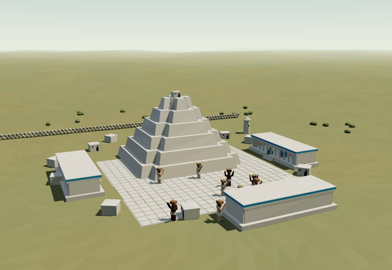
Mayapán: the Temple of K’uk’ulkan and its halls
Landa tells how Mayapán was laid out: inside the enclosure “they built houses for the lords only, dividing all the land among them, giving towns to each one, according to the antiquity of his lineage and his personal value”. Each lord kept a steward, the caluac, who “kept account with the towns” and sent for “birds, maize, honey, salt, fish, game, cloth and other things” as the lord’s house needed them. 1 Consensus Texts
In Landa’s account the nobles agreed, “in order that the government should endure, that the house of the Cocoms should have the chief power; because it was the most ancient or the richest family”, and all the lords visited, feasted and attended the Cocom. Tozzer’s note qualifies it: Roys thought the Xiu “fairly close to him in importance”, and “Mayapan seems to have been ruled by a joint government, the Cocom, the Xiu and others”. 1 Debated Texts
Archaeologists read the same sources as a council: “the most influential nobility came from the houses of the Cocom, the Xiu, and the Chel (among others) who governed the polity as members of Mayapan’s ruling council”. These lords built the monumental centre, the Temple of K’uk’ulkan with temples, colonnaded halls and shrines around it; a wall 9.1 km long, with twelve formal gates, enclosed 4.2 km², and 15,000 to 20,000 people lived there. 4,32 Consensus Excavation Texts
Hutchinson writes that “the multepal ‘council rule’ concept has been widely discussed”, but that newer readings make it likely that “lords on this council held unequal power; various paramount leaders would have dominated the affairs of the city”: contact-period sources mention an office of king, a “man over everyone”. Masson and Peraza Lope conclude that simple either-or models fail: “the city was ruled by a council, but also, there are references to kings.” 35,32 Debated Texts Excavation
Radiocarbon dates on 205 skeletons tie the chronicles’ k’atuns to the ground: “terror and war” in 1302–1323, an “inquisition against members of the Xiu nobility” in 1361–1381, decline in 1382–1401, and the massacre of the Cocom in 1440–1461. Two shallow mass graves of 1350–1400 hold people killed with stone knives or chopped and burned, consistent with records that “one faction of the government persecuted, tortured, and executed rival factions”. 4 Consensus Dating Bioarchaeology Excavation
The last mass grave, against the north stair of the Temple of K’uk’ulkan, holds nine people, seven of them children, killed between 1440 and 1460 and “potentially related on the maternal line”: Kennett and colleagues take it for the Xiu-led massacre of the Cocom family. They correlate the rise in violence with drought between 1400 and 1450; a stalagmite under the central plaza stopped growing between 1397 and 1427. 4 Debated Dating Bioarchaeology
Landa’s version: a later Cocom “began to play the tyrant and to make slaves of the poorer people”, bringing in Mexican troops from Tabasco; “the nobles joined with the party of Tutul Xiu” and conspired to kill him, and the city was abandoned, “each party returning to his own country”. Writing in 1566, he put the abandonment 120 or 125 years earlier, that is in 1446 or 1441. The Chumayel chronicle says: “They broke down the city wall because of the joint government in the city of Mayapan.” 1 Consensus Texts
Rice, Rice and Pugh put it in one line: Mayapán “was coruled—not always amicably—by two broad lineage alliances, Itza and (Tutul) Xiw”; after protracted conflicts “the Xiws overthrew the Itzas around 1440–1450, and the city was abandoned”. 33 Consensus Texts Excavation
How power worked Council of elders or heads · Heredity · Council
How power worked
- Who rules
- Council of elders or heads Debated
Why?
- How chosen
- Heredity Debated
Why?
- Limits on power
- Council Debated
Why?
- Scale
- Confederation Consensus
Why?
- Claim to rule
- Kinship and descent Debated
Why?
- Who has a say
- Lineage heads Consensus
Why?
The provinces after Mayapán1450 CE – 1517Northern Yucatán (Mayapán marks the old capital)
When Mayapán fell its lords went home and ruled their own territories: the Xiu at Maní, the Cocom at Sotuta, and others across the peninsula. Some states had a halach uinic, a “great man” over the town lords, the batabs; others were looser. These were the states the Spanish met from 1517.
Terms: The Maya: Classic kings to the League of Mayapán: Chichén Itzá, Mayapán and the provinces, The provinces after Mayapán
- halach uinic “great man”: the head of a province (Kennett and colleagues write halach winik); a 1562 testimony calls Lorenzo Cocom of Sotuta his town’s “halach uinic … gran Señor in whom they had to take Council” 1,4
- batab a town lord (plural batabs); Tozzer finds the duties of lords, governors and batabs almost impossible to tell apart 1
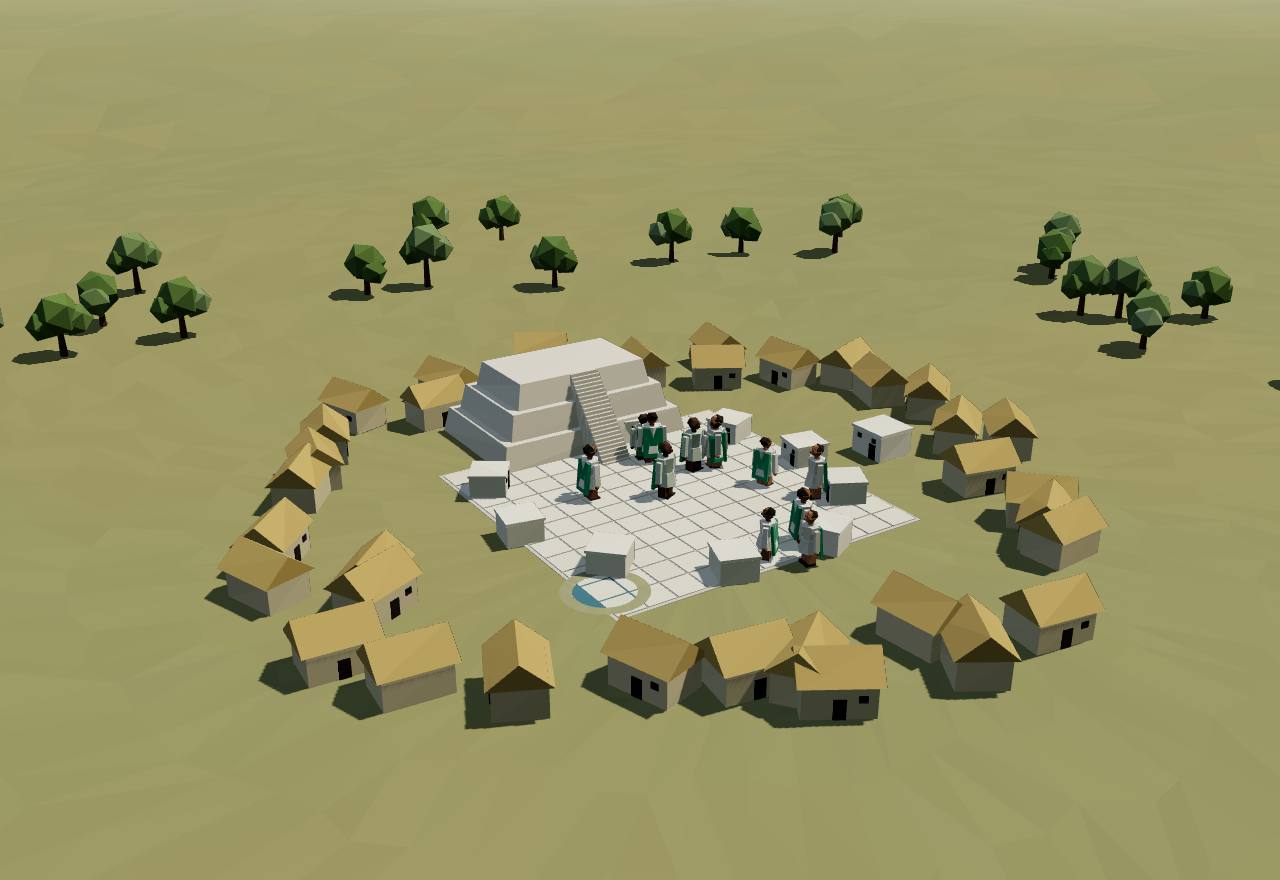
A Yucatán town before the conquest, as Landa describes it
“Leaders of political units who had belonged to the Mayapan confederacy returned to their home territories after the dissolution of the regional state. They headed numerous smaller polities across the peninsula, some of which were quite powerful and prosperous at the time of Spanish contact.” Tozzer traces two: the Cocom settled at Sotuta, and the Xiu, leaving Uxmal under Ah Xupan, made Maní their capital. 4,1 Consensus Texts Excavation
Before the fall, Tozzer argues, the halach uinics living at Mayapán “ruled by virtue of the power delegated to them by the ruling Cocom”; “it was not until after the fall of the city that these lords or halach uinics were independent of any central authority and ruled, each sovereign in his own state, the condition found in the country by the Spaniards”. 1 Debated Texts
The nobility, Tozzer writes, “probably included the halach uinic (‘great man’), the batabs, ah kulels, ah cuch cab and the holpops”; the duties of lords, governors and batabs are “almost impossible to differentiate”, and changed again after the Spanish arrived. Kennett and colleagues describe “bureaucratic systems ranking nobles according to an array of religious and political titles”. 1,4 Consensus Texts
Office depended on knowledge passed down in eligible families. Roys, quoted by Tozzer, describes the “Interrogation of the Chiefs” in the Chumayel, held at the start of each k’atun: “a sort of civil service examination conducted by the halach-uinic” to weed out “upstarts, pretenders”, in which proof of legitimacy was knowledge “handed down from father to son in families eligible to chieftainship”, the “language of Zuyua”. 1 Debated Texts
Landa describes the towns before the conquest: “in the middle of the town were their temples with beautiful plazas, and all around the temples stood the houses of the lords and the priests, and then (those of) the most important people”; the richest and most esteemed lived nearest, “and at the outskirts of the town were the houses of the lower class”. 1 Consensus Texts
The states fought one another, and “each state had military leaders who could quickly mobilize armies, but there is little historical evidence for civil conflict within each state”. Old feuds lasted: in 1536 the Itza killed Xiw rain priests at Otzmal, and in 1542 the Xiw converted to Christianity, “prompting dissenters to flee”. 4,33 Consensus Texts
The Maní chronicle dates the first Spanish sight of “the province of Mayapan” to a Katun 2 Ahau, “sixty years after the fortress (Mayapan) was depopulated”; Tozzer notes that a Katun 2 Ahau ended in 1517 or 1520, depending on the correlation, and that Córdoba’s visit early in 1517 “might account for the introduction of smallpox”, which the chronicles also place in a 2 Ahau. 1 Debated Texts
How power worked King · Heredity · Custom and kin
How power worked
- Who rules
- King Debated
Why?
- How chosen
- Heredity Debated
Why?
- Limits on power
- Custom and kin Speculative
Why?
- Scale
- Territorial state Debated
Why?
- Claim to rule
- Kinship and descent Debated
Why?
- Who has a say
- Lineage heads Debated
Why?
Artefacts
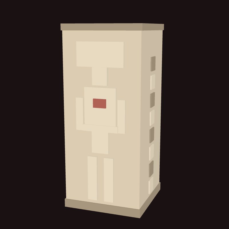 Model, not a scan
In numbers
- Marks, by Seshat polity:
- Late Classic Tikal
- Background bands, by phase:
- Holy lords and Teotihuacan
- Overkings and their vassals
- The Classic collapse
- Chichén Itzá, Mayapán and the provinces
Not coded in Seshat
Not coded in Seshat
Not coded in Seshat
| Seshat polity | Years | Value |
|---|---|---|
| Late Classic Tikal | 555 CE – 869 CE (whole period) | 65 |
| Seshat polity | Years | Value |
|---|---|---|
| Late Classic Tikal | 750 CE | 60,000 |
| Seshat polity | Years | Value |
|---|---|---|
| Late Classic Tikal | 555 CE – 869 CE (whole period) | 60,000 |
Not coded in Seshat: administrative levels, settlement hierarchy, military levels.
Values as Seshat codes them: bands are ranges, dots single values, flat bars values given for a whole period, hatching “unknown”; from one Seshat polity to the next, marks alternate between a light tone and a darker one with dashed joining lines (the key above names each polity). Source: Seshat Global History Databank (Equinox-2020), CC BY 4.0; and the Seshat Databank, seshat-db.com (no licence stated; attribution).
Governance fingerprint
Seshat's institutional variables, phase by phase. Hover or focus a cell for the values and years.
- Present
- Inferred present
- Absent
- Inferred absent
- Unknown
- Not coded in Seshat
- Mixed: present in one Seshat polity or period, absent in another
Not coded in Seshat: Holy lords and Teotihuacan, Overkings and their vassals: Calakmul: the Kaanul kings, Overkings and their vassals: Copán, The Classic collapse, Chichén Itzá, Mayapán and the provinces: Chichén Itzá, Chichén Itzá, Mayapán and the provinces: Mayapán, Chichén Itzá, Mayapán and the provinces: The provinces after Mayapán. The Seshat Databank has no polity for them, so their six axes rest on the cited scholarship alone.
Source: Seshat Global History Databank (Equinox-2020), CC BY 4.0; Seshat Databank, seshat-db.com (no licence stated; attribution).
Compare
| Axis | The Maya: Classic kings to the League of Mayapán | Central Mexico: Teotihuacan | Greece: Athens | The Andes: Cuzco |
|---|---|---|---|---|
| Who rules | King | Unknown | Elected magistrates | King |
| How chosen | Heredity | Unknown | Mixed | Mixed |
| Limits on power | Custom and kin | Council | Written law | Custom and kin |
| Scale | City-state | Territorial state | City-state | Territorial state |
| Claim to rule | Divine mandate | Divine mandate | Law | Divine mandate |
| Who has a say | A narrow elite | Unknown | Property owners | A narrow elite |
Legacy
Maya kingdoms outlived Mayapán by two and a half centuries. The Itza of the Petén lakes held out until 1697, when their ruler Ajaw Kan Ek’ claimed relatives in Chichén Itzá; Kowoj people told the Spaniards after that conquest that they had come from Mayapán. 33 Consensus Texts
The name itself may come from the League’s capital: a colonial report quoted by Tozzer says the language of all the provinces “is called Mayatan. It is so named after an ancient city known as Mayapan which was abandoned”. 1 Debated Texts
Decipherment turned Classic Maya studies into “text-backed historical archaeology”, Martin writes, “capable of building a political anthropology as robust as any other we have for the ancient world”; lidar now adds whole landscapes, and its surveyors say it “compels a reevaluation of Maya demography, agriculture, and political economy”. 13,6 Consensus Texts Survey
Much of what is known of Postclassic government passed through one man: the Franciscan Diego de Landa, whose account of Yucatán, written about 1566 with much of its information from the Cocom noble Nachi Cocom, survives with Tozzer’s 1941 notes as the main source on Mayapán; archaeology at Mayapán has since confirmed several of its events by radiocarbon. 1,4 Consensus Texts Dating
See also forms of government and the country edition.
Sources
Bibliography
36 sources, numbered as cited: 17 papers · 3 books · 15 datasets · 1 primary
- Primary Landa, D. de; Tozzer, A. M. (ed. and trans.) (1941). Landa’s Relacion de las Cosas de Yucatan. Papers of the Peabody Museum of American Archaeology and Ethnology 18, Harvard University. Landa wrote c. 1566. Read 16 Nov 2026 in the archive.org text: Chichén Itzá and its three lords, the founding and government of Mayapán, the caluac, its fall, and Tozzer’s notes (the joint government, the halach uinic and the batabs, the Long Count correlations).
- Paper Martin, S. (2024). In search of the serpent kings: From Dzibanche to Calakmul. Ancient Mesoamerica 35: 822–838. Open access (CC BY-NC-SA). Full text read 16 Nov 2026: the snake emblem and its toponyms, the Dynastic Vases, the Early Classic kaanul kings at Dzibanche, their clients and wars, the civil war of the 630s, Yuknoom Ch’een II’s reconstitution at Calakmul and the end of the snake kings there.
- Paper Stuart, D. (1998). The Arrival of Strangers. Precolumbia Mesoweb (extract of a paper presented at Princeton University, October 1996, revised February 1998; the full chapter is in Mesoamerica’s Classic Heritage, 2000). The open extract read in full 16 Nov 2026: the 11 Eb arrival of Siyah K’ak’ in 378, Jaguar Paw’s death that day, Nun Yax Ayin’s accession in 379, Spearthrower Owl, the kalomte’ title, and Temple I’s lintels at Tikal. Spellings are Stuart’s of 1998 (Siyah K’ak’, Nun Yax Ayin).
- Paper Kennett, D. J., Masson, M., Peraza Lope, C., Serafin, S., George, R. J., et al. (2022). Drought-Induced Civil Conflict Among the Ancient Maya. Nature Communications 13: 3911. Full text read 16 Nov 2026 (open access PDF).
- Paper Martin, S. (2005). Caracol Altar 21 Revisited: More Data on Double Bird and Tikal’s Wars of the Mid-Sixth Century. The PARI Journal 6(1): 1–9. Full text read 16 Nov 2026 (Mesoweb PDF): Tikal’s overlordship at Caracol’s accession of 553, the axe event of 556 and the “star war” of 562; Double Bird (Wak Chan K’awiil) and the Tikal kings of 488–537 in the notes.
- Paper Canuto, M. A., Estrada-Belli, F., Garrison, T. G., Houston, S. D., Acuña, M. J., et al. (2018). Ancient lowland Maya complexity as revealed by airborne laser scanning of northern Guatemala. Science 361(6409): eaau0137. Read 16 Nov 2026 in the authors’ copy on the NSF Public Access Repository (par.nsf.gov/servlets/purl/10097677): the summary, the settlement-density, agriculture, causeway and defence sections.
- Dataset Seshat: Global History Databank (2026). Seshat Databank API: polities gt_tikal_early_classic, gt_tikal_terminal_classic, gt_tikal_early_postclassic, mx_maya_classic. seshat-db.com, read 15–16 Nov 2026. Early Classic Tikal (250–554) has one record; Terminal Classic Tikal (870–950), Early Postclassic Tikal (951–1250) and Classic Maya (550–950) have none, so only Late Classic Tikal is charted.
- Dataset Bennett, J. S., Mutch, E., Tollefson, A., et al. (2025). Cliopatria - A geospatial database of world-wide political entities from 3400BCE to 2024CE. Scientific Data 12. Cliopatria: open geospatial dataset of over 1600 political entities, 3400 BCE–2024 CE.
- Paper Bíró, P. (2011). Politics in the Western Maya Region (I): Ajawil / Ajawlel and Ch’e’n. Estudios de Cultura Maya 38: 41–73. Full text read 16 Nov 2026 (UNAM PDF, CC BY-NC): the k’uhul ajaw at the head of a court, the readings of ajawil / ajawlel (Lacadena and Ciudad Ruiz’s ‘kingdom’ against Houston, Robertson and Stuart), and Bíró’s conclusion.
- Paper Houston, S., Román Ramírez, E., Garrison, T. G., Stuart, D., Escobedo Ayala, H., Rosales, P. (2021). A Teotihuacan complex at the Classic Maya city of Tikal, Guatemala. Antiquity 95(384): e32. Full text read 16 Nov 2026 (Cambridge open access).
- Paper Viel, R. H. (1999). The Pectorals of Altar Q and Structure 11: An Interpretation of the Political Organization at Copan, Honduras. Latin American Antiquity 10(4): 377–399. Abstract (English and Spanish) read 16 Nov 2026 on Cambridge Core.
- Paper Iannone, G. (2002). Annales History and the Ancient Maya State: Some Observations on the “Dynamic Model”. American Anthropologist 104(1): 68–78. Abstract read 16 Nov 2026 (Crossref).
- Book Martin, S. (2020). Ancient Maya Politics: A Political Anthropology of the Classic Period 150–900 CE. Cambridge University Press. The publisher’s description read 16 Nov 2026; the book itself not read.
- Paper Chase, A. F., Chase, D. Z., Smith, M. E. (2009). States and Empires in Ancient Mesoamerica. Ancient Mesoamerica 20(2): 175–182. Abstract read 16 Nov 2026.
- Dataset UNESCO World Heritage Centre (1987). Pre-Hispanic City of Teotihuacan (World Heritage List no. 414). UNESCO open data, World Heritage List dataset whc001. Record read 16 Nov 2026: 'Built between the 1st and 7th centuries A.D.', 36 km² at its peak, the Pyramid of the Sun 225 × 222 m at the base; 'razed by fire and subsequently abandoned during the 7th century'; coordinates 19.69167 N, 98.84167 W.
- Dataset UNESCO World Heritage Centre (1979). Tikal National Park (World Heritage List no. 64). UNESCO open data, World Heritage List dataset whc001. Record read 16 Nov 2026: inhabited “from the 6th century B.C. to the 10th century A.D.”; coordinates 17.21667 N, 89.61667 W.
- Dataset Wikidata contributors (2026). Uaxactún (Wikidata Q977738). Wikidata, entity data (CC0). Used for the archaeological site’s position only: 17.39356 N, 89.63453 W (read 16 Nov 2026).
- Dataset Wikidata contributors (2026). Bejucal (Wikidata Q3637536). Wikidata, entity data (CC0). Used for the archaeological site’s position only: 17.417 N, 89.667 W (read 16 Nov 2026).
- Dataset Wikidata contributors (2026). El Perú (Waka’) (Wikidata Q532534). Wikidata, entity data (CC0). Used for the archaeological site’s position only: 17.278341 N, 90.380587 W (read 16 Nov 2026).
- Dataset UNESCO World Heritage Centre (1980). Maya Site of Copan (World Heritage List no. 129). UNESCO open data, World Heritage List dataset whc001. Record read 16 Nov 2026: three main stages of development “before the city was abandoned in the early 10th century”; coordinates 14.838 N, 89.142 W.
- Dataset Wikidata contributors (2026). Dzibanche (Wikidata Q847614). Wikidata, entity data (CC0). Used for the archaeological site’s position only: 18.6375 N, 88.75903 W (read 16 Nov 2026).
- Dataset UNESCO World Heritage Centre (1987). Pre-Hispanic City and National Park of Palenque (World Heritage List no. 411). UNESCO open data, World Heritage List dataset whc001. Record read 16 Nov 2026: at its height “between AD 500 and 700”; coordinates 17.48333 N, 92.05 W.
- Paper Chase, D. Z., Chase, A. F. (2013). Classic Maya Warfare and Settlement Archeology at Caracol, Belize. Estudios de Cultura Maya 22 (the volume of 2002, online 2013). The Spanish abstract read 16 Nov 2026 on the journal’s page (the PDF is scanned images; not read).
- Dataset UNESCO World Heritage Centre (2002). Ancient Maya City and Protected Tropical Forests of Calakmul, Campeche (World Heritage List no. 1061). UNESCO open data, World Heritage List dataset whc001. Record read 16 Nov 2026: the city “played a key role in the history of this region for more than twelve centuries”; coordinates 18.05303 N, 89.73728 W.
- Paper Cheek, C. D. (2003). Maya Community Buildings: Two Late Classic Popal Nahs at Copan, Honduras. Ancient Mesoamerica 14(1): 131–138. Abstract read 16 Nov 2026 on Cambridge Core (the title spells popal nah).
- Paper Bardsley, S. (1996). Benches, Brothers, and Lineage Lords of Copan. Eighth Palenque Round Table, 1993, ed. M. J. Macri and J. McHargue (Pre-Columbian Art Research Institute); online edition 2004. Full text read 16 Nov 2026 (Mesoweb PDF): the seated siblings, the suburban benches, Structure 22A as a popol na and the author’s reading of them.
- Dataset UNESCO World Heritage Centre (1981). Archaeological Park and Ruins of Quirigua (World Heritage List no. 149). UNESCO open data, World Heritage List dataset whc001. Record read 16 Nov 2026: under Cauac Sky (723–84) “the capital of an autonomous and prosperous state”; coordinates 15.27059 N, 89.04025 W.
- Paper Kennett, D. J., Breitenbach, S. F. M., Aquino, V. V., Asmerom, Y., Awe, J., et al. (2012). Development and Disintegration of Maya Political Systems in Response to Climate Change. Science 338(6108): 788–791. Abstract read 16 Nov 2026 (PubMed 23139330).
- Paper Evans, N. P., Bauska, T. K., Gázquez-Sánchez, F., Brenner, M., Curtis, J. H., Hodell, D. A. (2018). Quantification of drought during the collapse of the classic Maya civilization. Science 361(6401): 498–501. Abstract read 16 Nov 2026 (PubMed 30072537).
- Paper Turner, B. L., II, Sabloff, J. A. (2012). Classic Period collapse of the Central Maya Lowlands: Insights about human–environment relationships for sustainability. Proceedings of the National Academy of Sciences 109(35): 13908–13914. Abstract read 16 Nov 2026 (PubMed Central record PMC3435155).
- Dataset UNESCO World Heritage Centre (1996). Pre-Hispanic Town of Uxmal (World Heritage List no. 791). UNESCO open data, World Heritage List dataset whc001. Record read 16 Nov 2026: founded c. A.D. 700, “some 25,000 inhabitants”, buildings of 700–1000; first coordinates 20.36167 N, 89.77028 W.
- Book Masson, M. A., Peraza Lope, C. (2021). Introduction; Conclusion. In Settlement, Economy, and Society at Mayapán, Yucatan, Mexico, ed. M. A. Masson, T. S. Hare, C. Peraza Lope and B. W. Russell. University of Pittsburgh Center for Comparative Archaeology, Memoirs in Latin American Archaeology 27, pp. 1–39 and 421 ff.. The publisher’s free PDF; the introduction and the conclusion (chapter 18, by Peraza Lope and Masson) read 16 Nov 2026.
- Paper Rice, P. M., Rice, D. S., Pugh, T. W. (2024). Late Postclassic Lowland Maya politico-ritual architecture: Temple assemblages and Zacpeten. Ancient Mesoamerica 35(3): 865–881. Read 16 Nov 2026 in the authors’ accepted copy on the NSF Public Access Repository (par.nsf.gov/servlets/purl/10595714): the introduction, the Itza and Kowoj, and the Postclassic building types.
- Dataset UNESCO World Heritage Centre (1988). Pre-Hispanic City of Chichen-Itza (World Heritage List no. 483). UNESCO open data, World Heritage List dataset whc001. Record read 16 Nov 2026: “nearly 1,000-year history”, the fusion of Maya building with “new elements from central Mexico”; coordinates 20.682739 N, 88.568654 W.
- Book Hutchinson, R. H. H. (2021). A Comparison of Mayapán’s Burial Patterns within Ritual Buildings. In Settlement, Economy, and Society at Mayapán, Yucatan, Mexico, ed. M. A. Masson, T. S. Hare, C. Peraza Lope and B. W. Russell. University of Pittsburgh Center for Comparative Archaeology, Memoirs in Latin American Archaeology 27, ch. 7, pp. 183 ff.. The publisher’s free PDF; the chapter’s opening section on Mayapán’s government read 16 Nov 2026.
- Dataset The Metropolitan Museum of Art (2026). Column, Maya, 800–900 CE (1978.412.88). The Met Collection API, object 310540 (Open Access, public domain). Record read 16 Nov 2026: limestone, pigment; H. 173.4 × W. 73.7 cm; Mexico; public domain (Open Access); The Michael C. Rockefeller Memorial Collection, gift of Nelson A. Rockefeller, 1963. The record names no find-spot.
Quantitative values from the Seshat Global History Databank (Equinox-2020), licensed CC BY 4.0. Dataset: Seshat Equinox Packaged Data (v.1). See also Seshat: The Global History Databank (Turchin et al. 2015).
Values for polities Equinox-2020 does not cover come from the Seshat Databank at seshat-db.com (Seshat: Global History Databank), snapshotted from its API on 2026-11-16. No licence is stated on seshat-db.com; used with attribution. Snapshot: Seshat Databank API (seshat-db.com), social-complexity and general variables.