From cities without kings to an emperor who wrote to his subjects, and the crowned kings of the South, c. 2600 BCE–300 CE
India: Indus, Maurya and the South
2,600 BCE – 300 CE
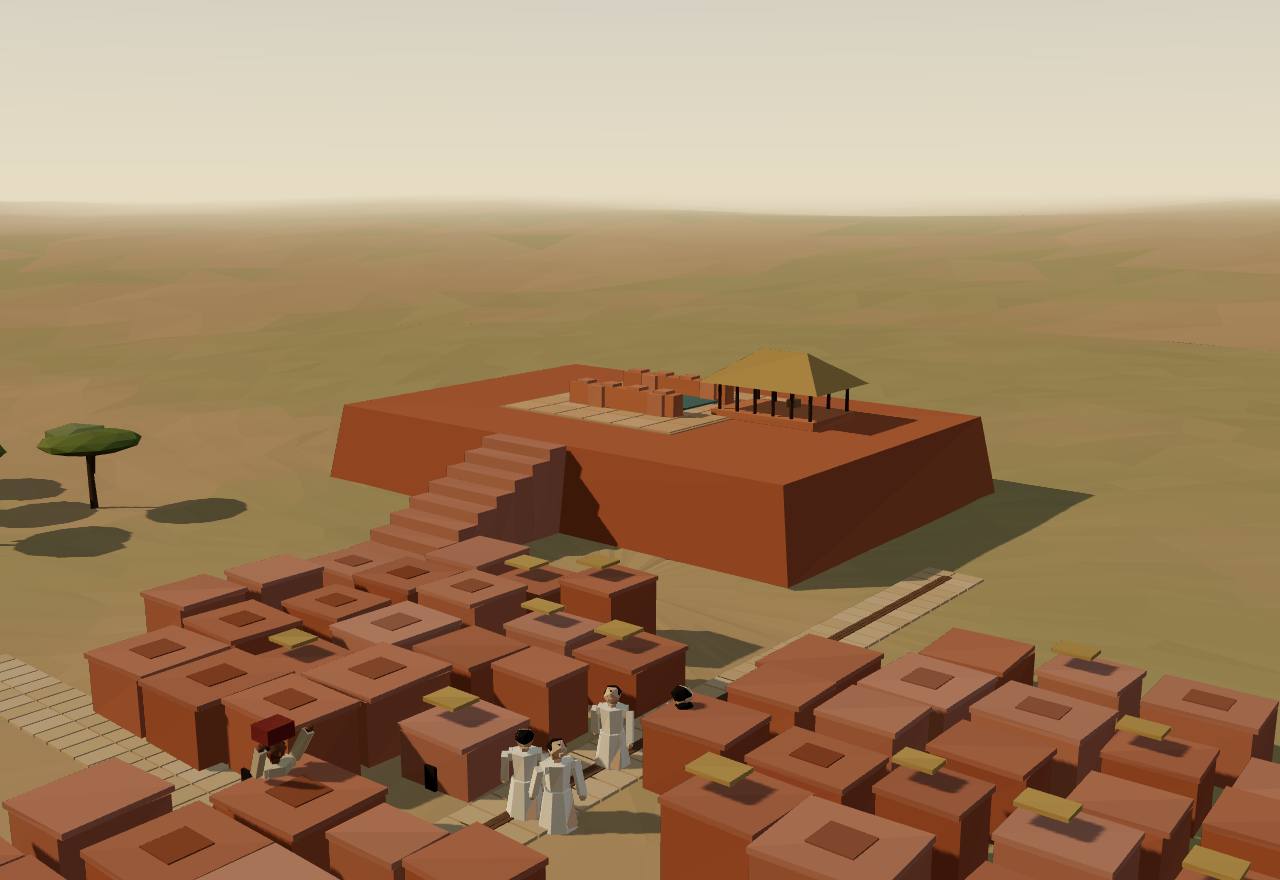
Mohenjo-daro: the mound, the Great Bath and the lower town, c. 2400 BCE
2,600 BCE – 1,900 BCE
The Harappan cities
Planned cities of baked brick, with drains for almost every house, standard weights and stamp seals in a script no one can read. What is missing is as striking: a century of digging has found no palace, no royal tomb and no image that is surely a ruler's.
Terms: India: Indus, Maurya and the South: The Harappan cities
- Mature Harappan The urban phase of the Indus civilisation, c. 2600–1900 BCE, after the pre-urban towns of c. 3300–2600 BCE. 1,2
- Great Bath Marshall's name for the brick-lined tank on Mohenjo-daro's western mound, with steps at both ends and a covered drain. 14
- “priest-king” The nickname of a 17.5 cm stone statuette from Mohenjo-daro, once taken for a ruler's portrait. 1
- “Great Granary” Wheeler's name for a large foundation on Harappa's Mound F; no grain or storage capacity was ever shown. 1
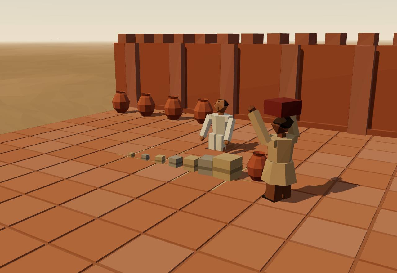
Weighing with the Indus standard, Mohenjo-daro courtyard
From about 2600 BCE Harappa, Mohenjo-daro, Dholavira and Rakhigarhi grew into cities, and perhaps Ganweriwala too: one city in each of the five Indus regions. They were the exception. Many of the hundreds of other known sites are smaller than 30 hectares, and the landscape was dominated by villages. 1,2 Consensus Excavation Survey
Mohenjo-daro's excavator wrote in 1931: “Temples, palaces, and tombs there may of course have been, but if so, they are either still undiscovered or so like other edifices as not to be readily distinguishable from them.” Ninety years later Adam Green finds that clear evidence for a ruling class “has yet to materialize”. 14,1 Consensus Excavation
Most of Mohenjo-daro's buildings were courtyard houses with hearths, set in blocks along planned streets over brick foundation platforms. A shared system of drainage pipes gave each house a private bathing platform. Massimo Vidale has called some of the larger houses “palaces”; Green finds none that joined government to a ruling family's household: “Access to a few more rooms does not make you a priest-king.” 1 Debated Excavation
The largest buildings were open to many. The Great Bath is a tank about 39 by 23 feet, sunk about 8 feet into a paved court, with steps at each end, a well to fill it and a covered drain; its baked bricks were sealed with bitumen. The Pillared Hall nearby is over 30 metres a side. Because buildings like these were relatively accessible, most scholars call them public. 14,1 Consensus Excavation
Graves hold pots and ornaments, and little else. In the Farmana cemetery the richest of 57 burials had 17 vessels and the poorest 2; Harappa's cemeteries hold 547 possible burials and no rich tomb. Six burial structures at Dholavira may be the only Indus tombs, but no human remains were found in the two that were excavated. 1 Consensus Excavation Bioarchaeology
The typical seal is a steatite cube with a square face about 2.5 cm across, carved with an animal (most often a one-horned bull) and a short text, then fired above 1200 °C. Some 2,500 come from Mohenjo-daro alone, found at nearly every building there. Many different groups of artisans made them, and Green concludes that seal production “was not even noticeably centralized”. 1 Debated Excavation
Cubical chert weights from Mohenjo-daro and Harappa follow one system, with no mark of value on any of them: their ratios run 1, 2, 4, 8, 16, 32, 64, then 160, 200, 320, 640 and 1,600. The commonest, ratio 16, has a mean of 13.71 g. Green reads a standard kept across the whole civilisation for centuries as something that “likely entailed the consent of generations of corporate groups”. 15,1 Consensus Excavation
The Indus people wrote: Seshat codes a script and written records for the urban periods. But the inscriptions are short and the script is not deciphered, so Indus government has to be read from buildings and objects, “in the absence of texts that can be readily translated”. 2 Seshat Consensus Texts Excavation
There are no clear depictions of violence in Indus art, although war is a main subject of early Egyptian and Mesopotamian art; scholars on both sides of the old state debate hold that the Indus civilisation largely lacked warfare. 1 Debated Excavation
Seshat, coding the Kachi plain (one Indus region), gives Urban Period I 100,000–170,000 km², a largest settlement of 100,000 people, three to four levels of settlement and one to two of administration, with full-time bureaucrats “inferred present” and professional soldiers “inferred absent”. Cliopatria draws the whole Indus Valley Civilization at about 755,000 km² in 2300–1801 BCE. 16 Seshat Debated Survey
The Indus region straddles the line where winter and summer rains overlap, and the summer monsoon weakened sharply around 2200–1900 BCE, when Mohenjo-daro and Harappa were at their largest. Petrie and colleagues call the link between climate and the end of the cities “ambiguous” and the dates imprecise; Giosan and colleagues see drying rivers making both flood- and rain-fed farming harder. 2,17 Debated Survey Dating
Giosan and colleagues find that only monsoon-fed rivers flowed between the Indus and the Ganges in the Holocene, “contrary to earlier assumptions” that a large glacier-fed river, identified by some with the mythical Sarasvati, watered the Harappan heartland. 17 Debated Survey Dating
How power worked City-state · 5 unknown
How power worked
- Who rules
- Unknown
Why?
No palace, royal tomb or certain image of a ruler has been found, and the script cannot be read: whether anyone held a ruling office is unknown.
- How chosen
- Unknown
Why?
With no ruler identified and no readable texts, how leaders were chosen is unknown.
- Limits on power
- Unknown
Why?
Nothing shows a council, assembly or court; the shared drains and weights show cooperation, not who could check whom.
- Scale
- City-state Debated
Why?
- Claim to rule
- Unknown
Why?
No texts and no images of rulers survive to say what authority, if any, rested on.
- Who has a say
- Unknown
Why?
Houses of similar comfort and burials of similar wealth suggest broad participation, but who took decisions is unknown.
Where is the palace?
Data: excavation reports as Marshall 1931 and Green 2021 give them
What excavators look for in a city ruled by a king, and what two Indus cities have given up after a century of digging. The first four rows are the signs of a ruling class; the last four are the shared works found instead. The towns before these cities are on the first-states page, with the question “Were the Indus cities run without kings?”
Mohenjo-daro: of 4 signs of a ruling class, 0 found, 2 disputed, 2 not found.
| Looked for | At Mohenjo-daro | What the sources say |
|---|---|---|
| A palace One household that is also the seat of government, set apart from the rest. | Disputed | Vidale called some larger houses “palaces”; Green finds none that served as a seat of authority: at best mansions. 1,14 |
| A royal tomb A grave far richer than all others, often with servants or offerings. | Not found | No rich tomb; graves hold pots and ornaments. 1 |
| An image of the ruler Statues or reliefs that single out one person as above the rest. | Disputed | The 17.5 cm “priest-king” statuette, now read as a sign of contact with neighbours, not a ruler's portrait. 1 |
| A monument to one person Aggrandising monuments or large, restricted temples, built to glorify a ruler or an elite. | Not found | Large buildings, but relatively accessible: the dominant view is that they were public. 1 |
| A great public tank A shared work: the Great Bath, about 39 by 23 feet, with steps, a well and a covered drain. | Found | The Great Bath and the Pillared Hall, over 30 m a side. 14,1 |
| Drains for every house A shared work: pipes serving most houses, each with a private bathing platform. | Found | An intricate drainage system served most residences. 1 |
| Standard weights A shared standard: cubical chert weights in one binary and decimal series, with no mark of value. | Found | The same system at both cities (Hemmy's tables). 15 |
| Seals in almost every building Stamp seals were used widely, not kept by an office: some 2,500 at Mohenjo-daro. | Found | Found at nearly every structure. 1 |
Harappa: of 4 signs of a ruling class, 0 found, 0 disputed, 4 not found.
| Looked for | At Harappa | What the sources say |
|---|---|---|
| A palace One household that is also the seat of government, set apart from the rest. | Not found | Large non-residential buildings on Mound F, but no palace; the “Great Granary” is a modern label without evidence of grain. 1,14 |
| A royal tomb A grave far richer than all others, often with servants or offerings. | Not found | 547 possible burials in three cemeteries, with similar grave goods and no rich tomb. 1 |
| An image of the ruler Statues or reliefs that single out one person as above the rest. | Not found | No image of a ruler reported. 1 |
| A monument to one person Aggrandising monuments or large, restricted temples, built to glorify a ruler or an elite. | Not found | Large buildings, relatively accessible. 1 |
| A great public tank A shared work: the Great Bath, about 39 by 23 feet, with steps, a well and a covered drain. | Not reported | Large non-residential buildings on Mound F; no tank like the Great Bath is reported. 14,1 |
| Drains for every house A shared work: pipes serving most houses, each with a private bathing platform. | Not reported | Neighbourhoods behind walls, gateways and ramps; the sources read do not describe its drains. 1 |
| Standard weights A shared standard: cubical chert weights in one binary and decimal series, with no mark of value. | Found | The same system at both cities (Hemmy's tables). 15 |
| Seals in almost every building Stamp seals were used widely, not kept by an office: some 2,500 at Mohenjo-daro. | Found | One of the earliest sealings was used on a building at Harappa. 1 |
Balance with the Indus weights
Model: Hemmy's ratio series, masses derived from one group mean
The Indus weights run in a fixed series of ratios, the same at Mohenjo-daro and Harappa: 1, 2, 4, 8, 16, 32, 64, then 160, 200, 320, 640, 1,600. The commonest, ratio 16, averages 13.71 g; the other masses below are derived from it, not measured. 15,1 Pick a load to see the fewest weights of one set that balance it.
24 units = 16 + 8 · about 20.6 g
The series as a table
| Ratio | Mass |
|---|---|
| 1 | about 0.86 g (derived) |
| 2 | about 1.71 g (derived) |
| 4 | about 3.43 g (derived) |
| 8 | about 6.86 g (derived) |
| 16 | 13.71 g (mean of the group) |
| 32 | about 27.4 g (derived) |
| 64 | about 54.8 g (derived) |
| 160 | about 137 g (derived) |
| 200 | about 171 g (derived) |
| 320 | about 274 g (derived) |
| 640 | about 548 g (derived) |
| 1600 | about 1,371 g (derived) |
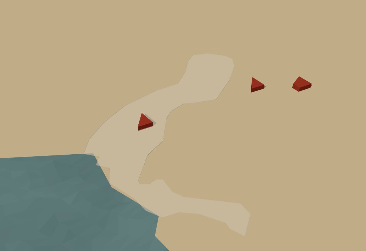
Indus Valley Civilization (Cliopatria), 2600–1900 BCE
Territory: Cliopatria (CC BY 4.0), simplified. Height fixed: population not coded in Seshat.
1,900 BCE – 600 BCE
After the cities: the Vedic age
For more than a thousand years there are no cities, no writing and no inscriptions. What survives of government is in the Vedic hymns and ritual texts, composed and handed down by memory, which speak of chiefs, assemblies and, later, of kings.
Terms: India: Indus, Maurya and the South: After the cities: the Vedic age
- sabhā An assembly; in the Atharvaveda, with the samiti, one of “the two daughters of Prajāpati”. 18
- samiti A gathering of the people, named beside the sabhā. 18
- viś The people, or the clans; the Atharvaveda asks them to “choose” the king. Later the third estate, from which tribute was taken. 18,3
- bali Tribute in kind, owed by lower levels of society to higher ones and in the end to the king. 3
- vidatha In the Rigveda, the festival at which a chief shared out the booty of raids among his people. 3
- purohita The royal priest, closely allied to the king and part of the actual work of government. 3
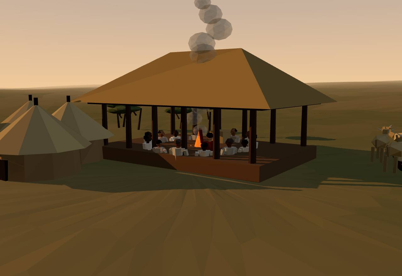
An assembly (sabhā), imagined: the Vedic age
With the end of the cities after about 1900 BCE, writing, seals, weights, long-distance exchange and large public buildings all disappeared. Small settlements went on, and in parts of northwest India even multiplied: life became rural and regional. 1,2 Consensus Excavation Survey
Skeletons from Harappa's post-urban cemeteries show worse health (tuberculosis, leprosy, anaemia) and more violence between people, aimed most at women and children. Green asks whether the cities had been “a possible brake on inequality” that was lost with them. 1,2 Debated Bioarchaeology
The Rigveda, the oldest Vedic text, knows no cities, only ruins. Michael Witzel dates it after the Indus decline and before the mid-14th-century BCE Mitanni treaty that names four Rigvedic gods, and holds that Indo-Aryan speakers came in gradually, tribe by tribe, after 1900 BCE. Iron, around 1200 BCE, appears first in the Atharvaveda as “black metal”. 3 Debated Texts Dating
In the Rigveda's world some 50 small tribes were in constant conflict, raiding each other for cattle. The Bharata chief Sudās won the “Ten Kings' Battle” on the Paruṣṇī (the Ravi), which let his tribe settle in Kurukṣetra. 3 Consensus Texts
The Atharvaveda has a hymn “for success in the assembly”: “Let both assembly (sabhā) and gathering (samiti), the two daughters of Prajāpati, accordant, favor me … may I speak what is pleasant among those who have come together.” Who sat in these bodies, and what they could decide, the hymns do not say. 18 Consensus Texts
A hymn for installing a king who “has been called or chosen” says: “Thee let the people (viśas) choose unto kingship (rājya).” Witzel reads the texts the same way: kings were elected, but from a small group of nobles, and dynasty-like lineages existed beside election. 18,3 Debated Texts
Near the end of the Rigvedic period the Bharata and allied tribes fused into the Kuru, whose realm Witzel calls “the first larger polity or ‘early state’ on Indian soil”. Its king was “primus inter pares” among the high nobility of a confederation of three sub-tribes, but his office was “at least semi-hereditary”, backed by a claim of divine ancestry acted out in ritual, a royal priest and officials (ratnin) bound to him by gifts. 3 Debated Texts
The Kuru king's power came to rest less on sharing out raided goods at the vidatha than on tribute (bali) taken from the people and from weaker neighbours. Witzel stresses that the texts show this tax as undetermined and often arbitrary. 3 Debated Texts
Even the Kuru great chief “was not yet, by any means, an absolute monarch”: he could be deposed by a rebellion of his peers or of the people, and the exiled king is a recurring figure in the texts, with rituals made to win his kingdom back. 3 Debated Texts
The four classes (varṇa) first appear in a late Rigvedic hymn (10.90). In the Kuru order all important positions were held by an alliance of Brahmins and Kṣatriyas, which, Witzel notes, some Brāhmaṇa texts say outright was made to exploit the rest of the population. 3 Consensus Texts
Seshat's codes for these centuries are thin and local. For the post-urban and proto-historic Kachi plain (Pirak) it records no script, one to two levels of settlement and a largest settlement of 450–1,800 people; for the Chalcolithic Middle Ganga it codes only the settlement hierarchy (one to two levels). Seshat Consensus Excavation
How power worked Chief · Mixed · Council
How power worked
- Who rules
- Chief Debated
Why?
- How chosen
- Mixed Debated
Why?
- Limits on power
- Council Debated
Why?
- Scale
- Confederation Debated
Why?
- Claim to rule
- Divine mandate Debated
Why?
- Who has a say
- A narrow elite Debated
Why?
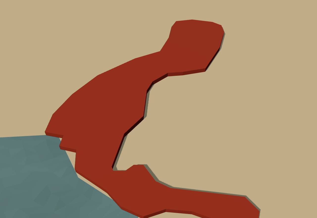
After the cities (Cliopatria), 1800–1720 BCE
Territory: Cliopatria (CC BY 4.0), simplified. Height fixed: population not coded in Seshat.
600 BCE – 322 BCE
Kingdoms and gaṇasaṅghas
Towns grow again on the Ganges plain, and the Buddhist texts name sixteen “great countries”. Some were ruled by kings; others, like the Vajji and the Malla, by assemblies of their leading men. Within three centuries one kingdom, Magadha, had swallowed the rest.
Terms: India: Indus, Maurya and the South: Kingdoms and gaṇasaṅghas
- mahājanapada “Great country”: the Pāli canon lists sixteen of them. 20
A Buddhist discourse lists the sixteen great countries (mahājanapada): Aṅga, Magadha, Kāsi, Kosala, Vajji, Malla, Cetī, Vaṅga, Kuru, Pañcāla, Maccha, Sūrasena, Assaka, Avanti, Gandhāra and Kamboja, as the Pāli text names them. Already the late Vedic texts show northern India divided into some 16 “kingdoms”, with the Kuru-Pañcāla at the centre. 20,3 Consensus Texts
Not all of them had kings. A. L. Basham writes of “oligarchic or republican communities” that survived down to the Gupta period, and Megasthenes, at the Maurya court around 300 BCE, was told that “most of the cities adopted the democratic form of government, though some retained the kingly until the invasion of the country by Alexander.” 19,21 Debated Texts
Coningham and Young date a new “Era of Integration” in the archaeology of South Asia to as early as 600 BCE, while noting that political integration came much later in the historical sources. 5 Debated Excavation
Cliopatria draws each janapada small: Magadha and the Vajji at about 5,000 km² each around 600 BCE. By 450–405 BCE the Haryanka kingdom of Magadha covers about 335,000 km², and Cliopatria's Nanda empire about 1,560,000 km² in 333–327 BCE. 16 Consensus Survey
Seshat codes the era as a whole, not any one state: largest settlement 12,000–48,000 people, four levels each of settlement, administration and military command, professional soldiers present, elite status hereditary, written records absent, and a constraint on the ruler by other parts of government “inferred present”. Seshat Debated Texts
Magadha
A kingdom on the Ganges plain, in what is now Bihar. Its kings fought their neighbours one by one, and under the Nanda dynasty Magadha became the core of the first great empire of northern India.
Terms: India: Indus, Maurya and the South: Kingdoms and gaṇasaṅghas, Magadha
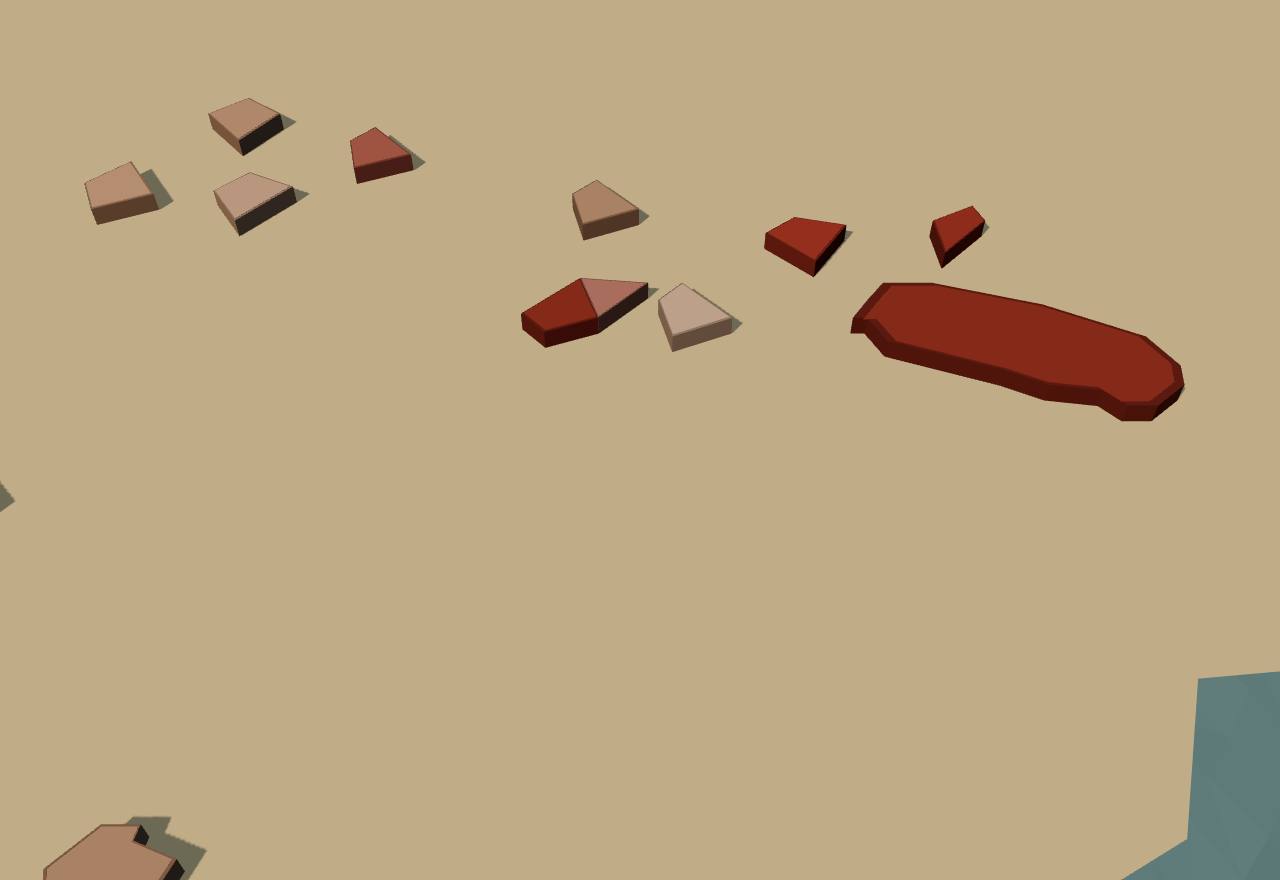
Magadha and the janapadas (Cliopatria), 490–420 BCE
Territory: Cliopatria (CC BY 4.0), simplified. Height fixed: population not coded in Seshat.
The Mahāparinibbāna Sutta opens with a king's threat: King Ajātasattu of Magadha “wanted to invade the Vajjis”: “I shall wipe out these Vajjis, so mighty and powerful! I shall destroy them, and lay ruin and devastation upon them!” 22 Consensus Texts
The king does not go himself: he sends Vassakāra, a brahmin and chief minister of Magadha, to ask the Buddha's opinion. The text shows a court of ministers who carry the king's policy, and later of rulers and royal ministers choosing house sites in a new town. 22 Consensus Texts
Magadha's chief ministers Sunidha and Vassakāra were “building a citadel at Pāṭali Village to keep the Vajjis out”. The text has the Buddha foretell that it will be the chief city “as far as the civilized region extends, as far as the trading zone extends”: Pāṭaliputta, the later Maurya capital. 22 Consensus Texts
In Cliopatria the Haryanka kingdom of Magadha grows from about 33,000 km² in 500–481 BCE to 94,000 km² in 480–451 BCE and 335,000 km² in 450–405 BCE. The Vajji janapada is no longer drawn after 481 BCE. 16 Consensus Survey
Hermann Kulke: Magadha came out of “the bitter struggles for supremacy” as the victor, and under the Nanda dynasty became the core of the first great regional empire, subjecting all the mahājanapada kingdoms of northern India by aggressive expansion. The later Purāṇas call Mahāpadma, the first Nanda, the sole ruler who first united the whole land under one umbrella. 4 Debated Texts
Greek and Roman writers credit the Nandas with a large standing army: Curtius Rufus gives 200,000 foot, 20,000 horse, 2,000 four-horse chariots and 3,000 elephants. Rigorous taxation paid for it, and later literature remembered the Nandas as greedy. 4 Debated Texts
Witzel contrasts the Vedic chiefs, who could be deposed, with the first great states with aspirations of empire, “such as Magadha about 500 B.C.”, where absolute power was first realised. In the late Vedic texts Magadha still lies at the outer frame of the Brahmin world. 3 Debated Texts
How power worked King · Heredity · Council
How power worked
- Who rules
- King Consensus
Why?
- How chosen
- Heredity Debated
Why?
- Limits on power
- Council Debated
Why?
- Scale
- Territorial state Consensus
Why?
- Claim to rule
- Force Debated
Why?
- Who has a say
- A narrow elite Debated
Why?
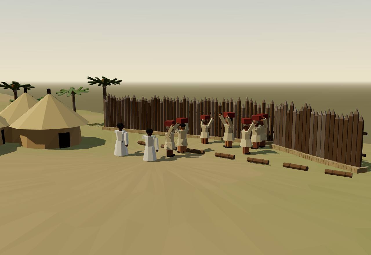
Magadha builds a citadel at Pāṭali village, 5th century BCE
The Vajji
North of Magadha, the Vajji were governed without a king. The Licchavis of Vesālī were the best known of their peoples. What we know of their government comes mostly from the Buddhist canon.
Terms: India: Indus, Maurya and the South: Kingdoms and gaṇasaṅghas, The Vajji
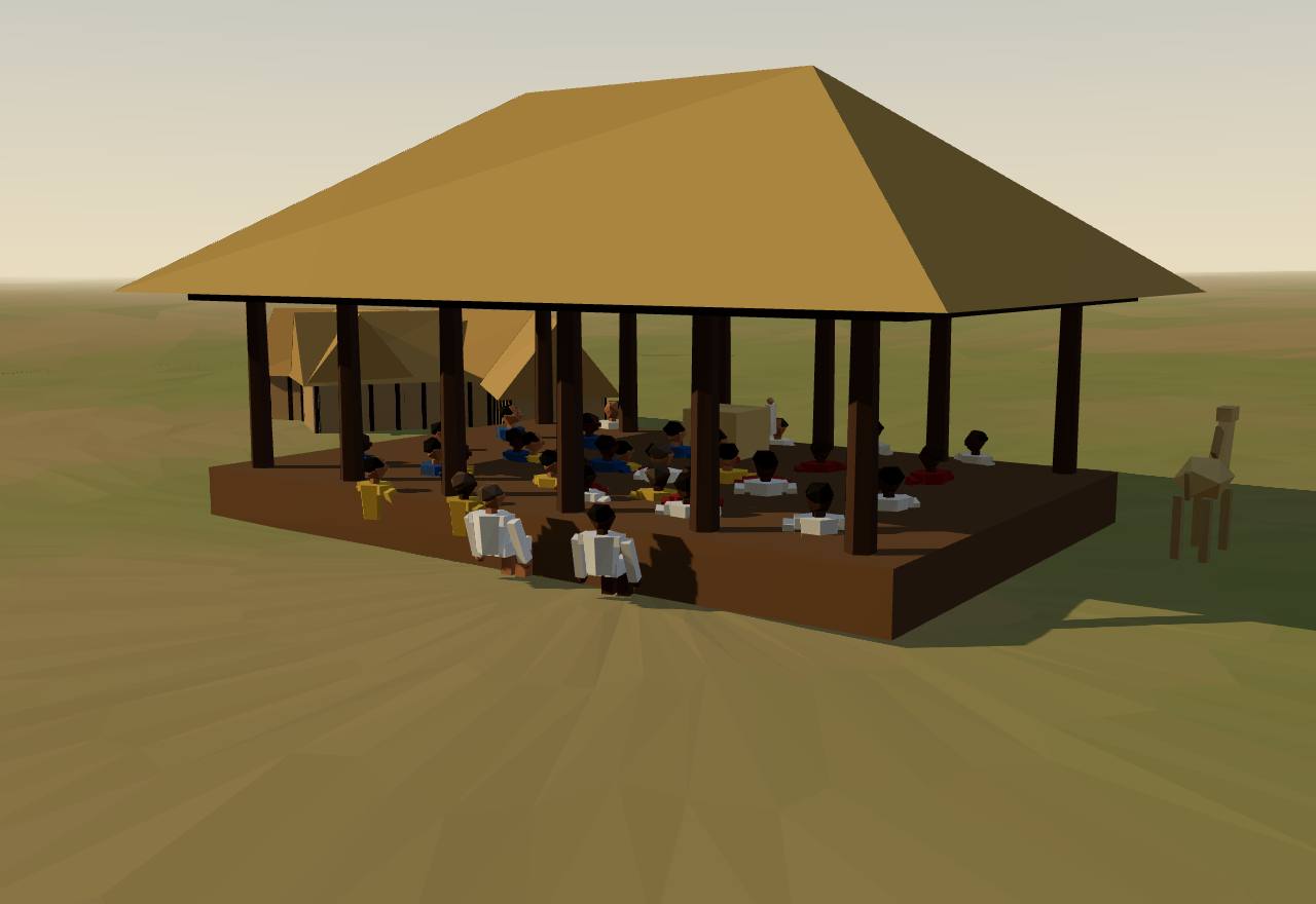
The assembly of the Licchavis at Vesālī, 5th century BCE
Asked whether Magadha can conquer the Vajji, the Buddha lists their seven “principles that prevent decline”. The first two are about meeting: “As long as the Vajjis meet frequently and have many meetings … meet in harmony, leave in harmony, and carry on their business in harmony, they can expect growth, not decline.” 22 Consensus Texts
The third is about law: the Vajjis “don't make new decrees or abolish existing decrees, but proceed having undertaken the ancient Vajjian principles as they have been decreed.” Their assemblies are pictured as keeping custom, not making policy. 22 Consensus Texts
The rest: they honour the Vajjian elders and think them “worth listening to”, do not abduct the women and girls of the clans, keep up the offerings at their shrines and protect holy men. With these, the text concludes, King Ajātasattu “cannot defeat the Vajjis in war, unless by bribery or by sowing dissension.” 22 Consensus Texts
When the Buddha comes to Vesālī, the Licchavis drive out in their finest carriages, dressed some in blue, some in yellow, red or white, and he tells his monks: “just have a look at the assembly of Licchavis” (licchaviparisaṁ), as splendid as the gods. 22 Consensus Texts
Who belonged? Witzel notes “the more than 7000 ‘rājas’ of the Vesali people in the Pāli texts”: rule shared among thousands of men who all bore the title of chief, not among all the people of Vesālī. 3 Debated Texts
J. P. Sharma treats the Vajji as a confederacy, with chapters on the Licchavis, the Videhas and the Nāyas among its peoples; Basham's foreword counts such “oligarchic or republican communities” as lasting down to the Gupta period. 19 Debated Texts
In Cliopatria the Vajji janapada covers about 5,200 km² from 600 to 481 BCE and then disappears, when Magadha under the Haryanka kings has grown to about 94,000 km². 16 Consensus Survey
How power worked Citizen assembly · Custom and kin · Confederation · 1 unknown
How power worked
- Who rules
- Citizen assembly Debated
Why?
- How chosen
- Unknown
Why?
The texts read describe the Vajji meeting and honouring their elders, but none says how anyone came to lead or to speak for them.
- Limits on power
- Custom and kin Debated
Why?
- Scale
- Confederation Debated
Why?
- Claim to rule
- Law Debated
Why?
- Who has a say
- Lineage heads Debated
Why?
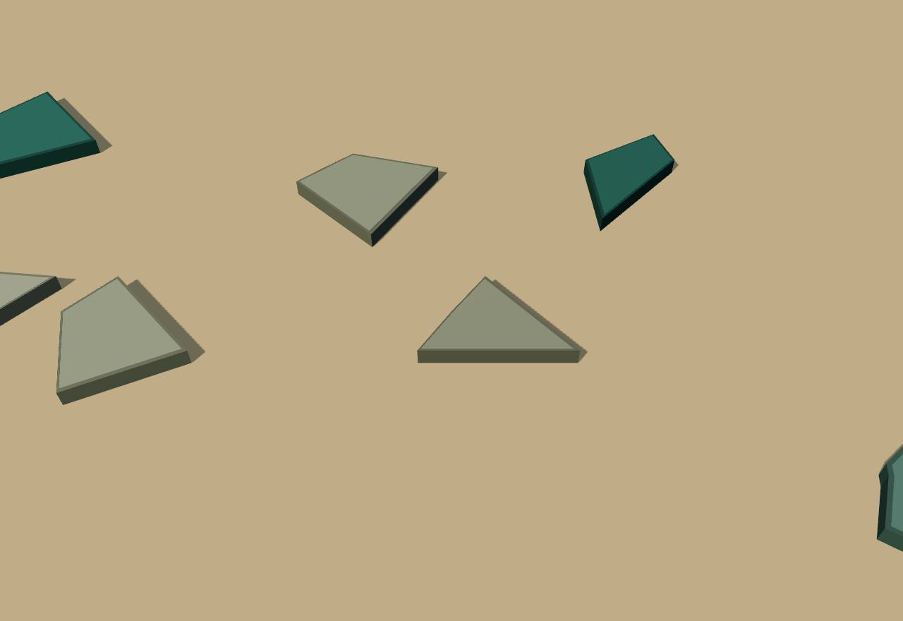
The Vajji beside Magadha (Cliopatria), 550 and 490 BCE
Territory: Cliopatria (CC BY 4.0), simplified. Height fixed: population not coded in Seshat.
322 BCE – 185 BCE
The Maurya empire
Chandragupta Maurya took Magadha from the Nandas and pushed its rule west to Afghanistan and south into the Deccan. His grandson Asoka had his words cut into rocks and pillars across the subcontinent: the first Indian writing that can be read, and a king explaining himself to his subjects.
Terms: India: Indus, Maurya and the South: The Maurya empire
- Devanam Priyadasi “Beloved of the gods”: the name by which Asoka speaks of himself in his edicts (Hultzsch: Devanampriya Priyadarśin). 4,10
- Mahāmātra A high officer: Mahāmātras assisted the princes who governed provinces and ran districts, and sat in a council (parishad). 10
- dhamma-mahamata “Great inspector of the dhamma”: officers Asoka created thirteen years after his consecration to spread his teaching and report to him. 4,10
- atavi The forest peoples of central and eastern India whom the empire never conquered; Asoka proclaimed his dhamma to them too. 4
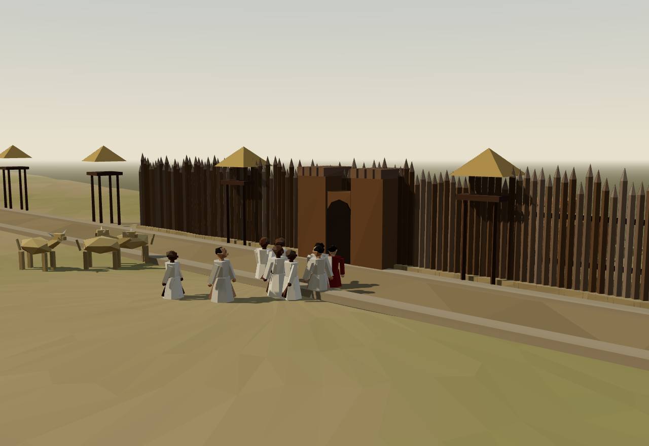
Pataliputra, the Maurya capital, as Megasthenes describes it, c. 300 BCE
How the Nandas fell is not known. Chandragupta seems to have begun by fighting the garrisons Alexander left on the Indus, and took Magadha around 320 BCE. In 305 he stopped Seleucus Nicator's attempt to take Alexander's Indian heritage; by the peace of 303 he gave Seleucus 500 war elephants and gained much of today's Pakistan, eastern Afghanistan and Baluchistan. 4,21 Consensus Texts
Megasthenes, Seleucus' envoy, describes Pataliputra where the Ganges meets the Erannoboas: 80 stadia long and 15 broad, a parallelogram “girded with a wooden wall, pierced with loopholes for the discharge of arrows”, with a ditch 600 feet broad and 30 cubits deep, 570 towers and 64 gates. Kulke turns this into a palisade some 40 km long. A line of timber palisades was dug up in Patna in 1876. 21,4 Consensus Texts Excavation
Megasthenes lists officers for the market, the city and the army, others who measure land and share out canal water, collect taxes and build roads with a pillar every ten stadia. The city is run by six boards of five: crafts, foreigners, births and deaths, trade with its weights and measures, sale of goods, and a tenth levied on sales, “fraud in the payment of this tax is punished with death”. 21 Debated Texts
He divides Indian society into seven “castes”; the sixth, overseers, “inquire into and superintend all that goes on in India, and make report to the king”, and from the seventh, the councillors and assessors, come the king's advisers, treasurers, judges and generals. Kulke reads it as a centrally ruled patrimonial-bureaucratic state, while warning that Megasthenes saw mostly the capital and the Magadhan core. 21,4 Debated Texts
Asoka's inscriptions show the empire divided into provinces under royal princes, each with Mahāmātras; other Mahāmātras ran districts, and a council (parishad) of Mahāmātras was “responsible only to the king”. In the sixth rock edict Asoka orders reporters to bring him the people's affairs at any time, “while I am eating, in the harem, in the inner apartment”, and any dispute in the council to be reported at once. 10,4 Consensus Texts
Eight years after his consecration Asoka conquered Kalinga: “One hundred and fifty thousand in number were the men who were deported thence, one hundred thousand in number were those who were slain there, and many times as many those who died.” The thirteenth rock edict calls this his repentance and turns to the dhamma. 10,4 Consensus Texts
To spread the dhamma Asoka created the dhamma-mahamatas, active throughout the empire and reporting to him personally, and sent envoys to five Greek kings he names: Antiochus II, Ptolemy II, Antigonus Gonatas, Magas of Cyrene and Alexander of Epirus. Kulke reads the dhamma as a new ideology of rule for an empire won by force, with features of patrimonial bureaucracy and of paternal welfare: Asoka called his subjects his children. 4 Debated Texts
The inscriptions stand at some sixty places from Kandahar to Orissa and Karnataka. In the northwest they are in Kharoshthi, written right to left from an Aramaic model; elsewhere in India in Brahmi. Near Kandahar there are an Aramaic–Greek bilingual, a Greek and an Aramaic inscription, and another Aramaic one at Taxila. They are the oldest written documents of India that can be read. 4,10 Consensus Texts
The pillar edicts, which carry most of what the inscriptions say about central government, stand almost all in the north Indian core; the major rock edicts sit in the borderlands, linked by roads; and wide regions of central and eastern India have no inscriptions at all. Gérard Fussman argued that outside the core an efficient central state existed perhaps only in the organisation of the inscriptions themselves. 4 Debated Texts Survey
Seshat codes the Mauryan Empire at 4,000,000 km², with two population estimates (18,000,000 and 100,000,000), seven levels of administration, full-time bureaucrats, a formal legal code, courts and judges, and no examination system. Cliopatria's Maurya Empire peaks at about 3,950,000 km² in 256–226 BCE and is drawn at about 1,140,000 km² after 225 BCE. 16 Seshat Debated Survey
The Arthaśāstra, the great Sanskrit treatise on government, is a “scientific treatise” on how a king can expand his territory, organise his bureaucracy, fill his treasury and keep order. Tradition makes its author Kauṭilya, Chandragupta's minister; whether it describes the Maurya state is the question below. 23,6,7 Debated Texts
The vision did not outlast Asoka's generation. In 185 BCE the last of his weak successors was assassinated, and the Śuṅga dynasty that followed soon held no more than the old Nanda lands. 4 Consensus Texts
How power worked Emperor · Heredity · None in practice
How power worked
- Who rules
- Emperor Consensus
Why?
- How chosen
- Heredity Consensus
Why?
- Limits on power
- None in practice Debated
Why?
- Scale
- Empire Consensus
Why?
- Claim to rule
- Ideology Debated
Why?
- Who has a say
- A narrow elite Consensus
Why?
Where Asoka's edicts stand
Data: Hultzsch 1925, Kulke 2014, Wikidata (CC0), Cliopatria (CC BY 4.0)
Where Asoka's inscriptions stand: those in Hultzsch's Corpus of 1925, and the Greek and Aramaic ones found later at Kandahar and Taxila, over the area Cliopatria draws for the Maurya Empire about 250 BCE. Points are Wikidata's coordinates, some for the nearby town. Not every known site is shown: Kulke counts some sixty. 10,4,24,16
- Major rock edicts
- Minor rock inscriptions
- Pillar edicts
- Minor pillar inscriptions
- Greek and Aramaic, found later
- Brahmi
- Kharoshthi
- Greek
- Aramaic
The sites as a list
- Girnar: Major rock edicts, Brahmi 10,4,24
- Kalsi: Major rock edicts, Brahmi 10,4,24
- Shahbazgarhi: Major rock edicts, Kharoshthi 10,4,24
- Mansehra: Major rock edicts, Kharoshthi 10,4,24
- Dhauli: Major rock edicts, Brahmi 10,4,24
- Jaugada: Major rock edicts, Brahmi 10,4,24
- Sopara: Major rock edicts, Brahmi 10,4,24
- Allahabad-Kosam: Pillar edicts, Brahmi 10,4,24
- Rampurva: Pillar edicts, Brahmi 10,4,24
- Lauriya-Nandangarh: Pillar edicts, Brahmi 10,4,24
- Sarnath: Minor pillar inscriptions, Brahmi 10,4,24
- Sanchi: Minor pillar inscriptions, Brahmi 10,4,24
- Rummindei (Lumbini): Minor pillar inscriptions, Brahmi 10,4,24
- Sahasram: Minor rock inscriptions, Brahmi 10,4,24
- Bairat: Minor rock inscriptions, Brahmi 10,4,24
- Maski: Minor rock inscriptions, Brahmi 10,4,24
- Brahmagiri: Minor rock inscriptions, Brahmi 10,4,24
- Kandahar: Greek and Aramaic, found later, Greek and Aramaic 4,24
- Taxila: Greek and Aramaic, found later, Aramaic 4,24
19 sites shown.
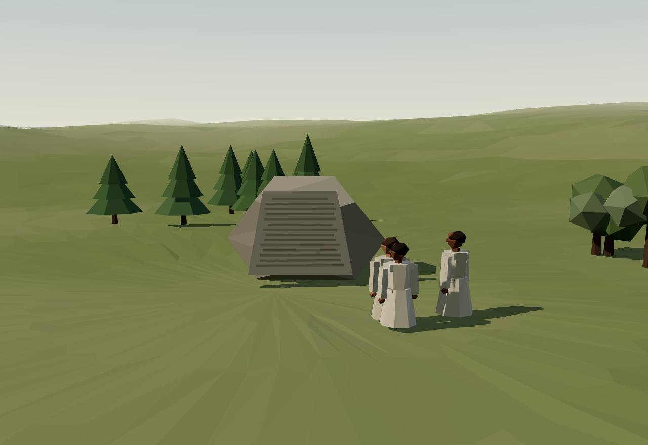
Asoka's rock edicts at Kalsi, on the Yamuna
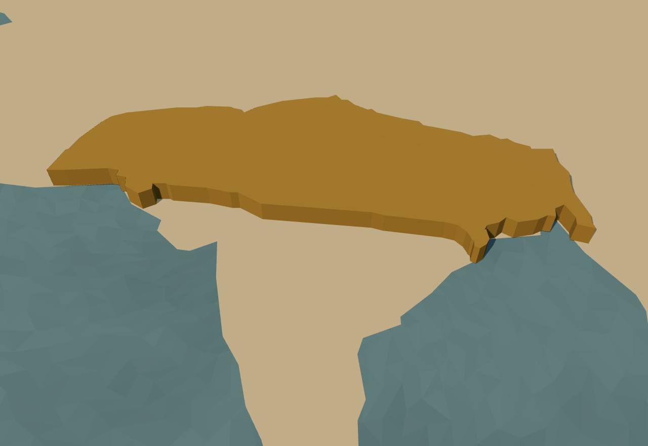
The Maurya empire (Cliopatria), 310–200 BCE
Territory: Cliopatria (CC BY 4.0), simplified. Height: Seshat population, log scale.
185 BCE – 300 CE
The South: chiefs and crowned kings
South of the Maurya empire lived peoples Asoka named but never ruled. Their story here starts in the ground and works up: Iron Age communities known only from their tombs; the three crowned kings of the Tamil country, Chera, Chola and Pandya, with the hill chiefs between them; and in the Deccan the Satavahanas, the first southern kings to carve their own portraits. The phase follows the Maurya on the strip, but its evidence begins long before (see the dating notes).
Terms: India: Indus, Maurya and the South: The South: chiefs and crowned kings
- Tamilakam The Tamil land, roughly today's Kerala and Tamil Nadu: the region that poems, cave inscriptions and foreign writers treat as one (Abraham dates the period c. 300 BCE–300 CE). 12
- anta “Borderers”: Asoka's word for the peoples outside his territories, among them the Chodas and Pandyas. 10
- Tramira Kharavela's word, which Jayaswal and Banerji read as Dramira, Tamil: “the confederacy of the T[r]amira (Dramira) countries”. 25
Asoka's second rock edict sets up “medical treatment for men and medical treatment for cattle” everywhere in his dominions “and likewise among (his) borderers, such as the Chodas, the Pandyas, the Satiyaputa, the Ketalaputa, even Tamraparni”. Where herbs, roots and fruits were lacking, they were brought in and planted, and wells were dug along the roads. The southern kings appear as neighbours outside the empire, not subjects. 10 Consensus Texts
The thirteenth rock edict places the Chodas and Pandyas, with five Greek kings, among the borderers where Asoka claims his conquest by dhamma has been won. Hultzsch concluded that Asoka kept envoys at their courts. The edict's next section names the Andhras among peoples “here in the king's territory”: the Deccan was inside the empire, the Tamil south outside. 10 Consensus Texts
Later, Kharavela of Kalinga claimed that he “thoroughly breaks up the confederacy of the T[r]amira (Dramira) countries of one hundred and thirteen years, which has been a source of danger to (his) Country (Janapada)”. The number is uncertain: Jayaswal and Banerji read 113 years, Sircar “possibly the round number 1300”. The lower lines are cut on a sloping surface “where it is difficult either to read or copy them”. 25,26 Debated Texts
Abraham lists the evidence for Tamilakam. The Sangam anthologies hold 2,381 poems by 473 poets plus 102 anonymous ones, and scholars date them anywhere from the first century BCE to the sixth century CE. About 80 to 90 rock inscriptions survive in natural caverns, with sherds inscribed in Tamil written in Brahmi. Greek and Roman writers can be dated far better. Most of the poems are bardic, “concerned with extolling the exploits of rulers, warriors, and patrons”. 12 Consensus Texts
The ground does not mark off a Tamil land. Abraham finds that nearly all the material culture of Kerala and Tamil Nadu (megaliths, black-and-red ware, iron, beads) also occurs elsewhere in the peninsula. The Deccan differs in its Buddhist sites, its local coins and its Roman artefacts. In Tamilakam, Roman finds are mostly hoards of silver and gold coins. 12 Debated Excavation
Cliopatria draws the Early Cheras, Early Cholas and Early Pandyas at about 25,000, 29,000 and 33,000 km², in one unchanging outline each from 291 BCE to 305 CE. In other words, it has no evidence for their frontiers changing. The Satavahana Dynasty it draws in fifteen changing slices from 225 BCE to 223 CE. 16 Consensus Survey
Before the kings: the megalithsBrahmagiri, Karnataka
From about 1200 BCE people across the peninsula buried some of their dead in stone: boxes of granite slabs under huge capstones, urns sunk in rock-cut pits, rings of boulders. They left no writing. Whatever these tombs say about power has to be inferred from the tombs themselves.
Terms: India: Indus, Maurya and the South: The South: chiefs and crowned kings, Before the kings: the megaliths
- port-hole Wheeler's word for the round hole in the eastern slab of a Brahmagiri cist, through which offerings and bones were passed before it was sealed. 27
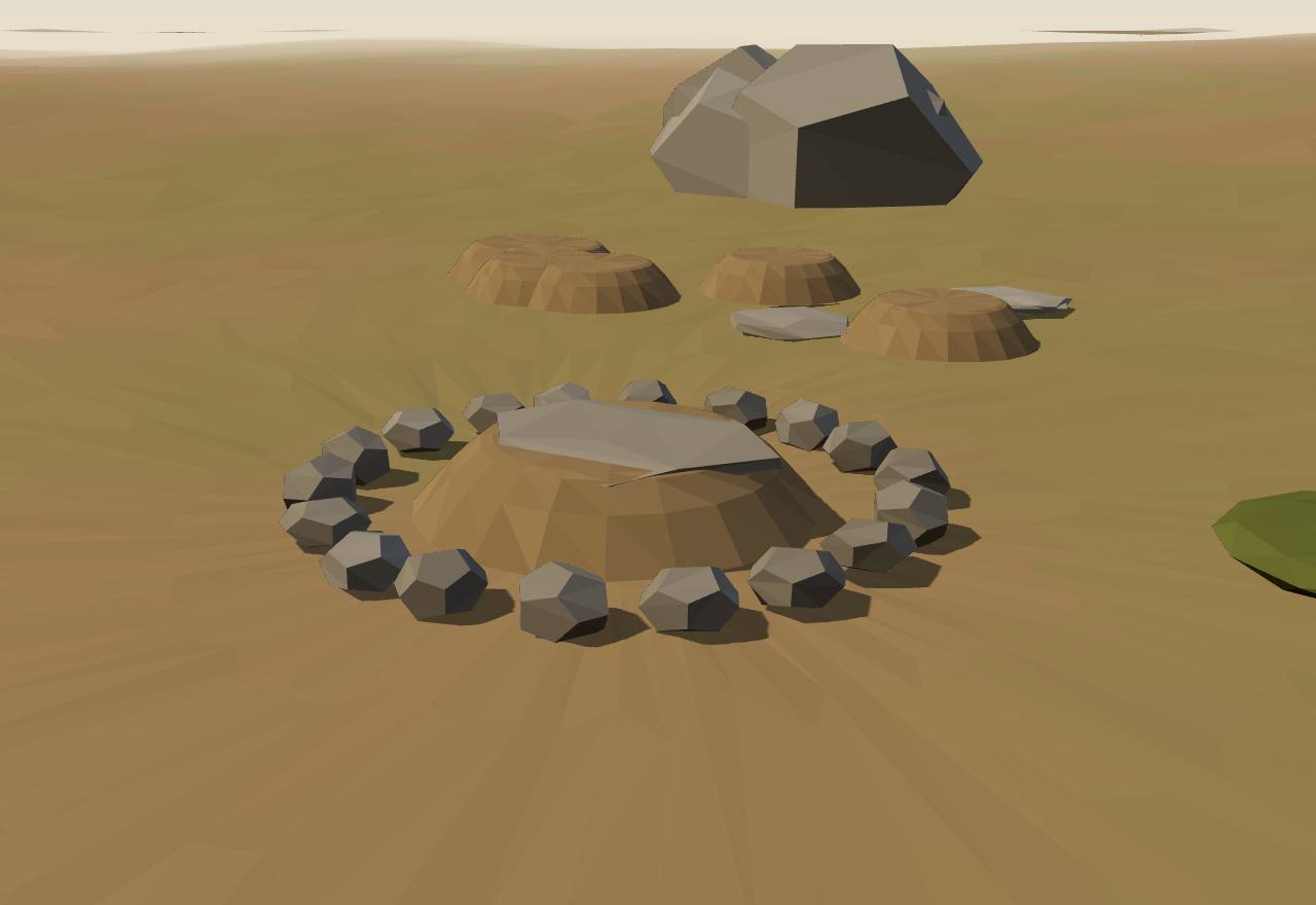
A port-holed cist at Brahmagiri, Iron Age
At Brahmagiri, Mortimer Wheeler opened cists built of granite slabs “normally 5-7 feet long, about 6 feet high, and 2-4 inches thick”, locked together in a svastika plan on a floor-slab and covered by “a massive and irregular capstone, up to a foot in thickness and sometimes 15 feet across”. The eastern slab always had a round port-hole, measured at 1 ft 5 in and 1 ft 11 in in two tombs, reached by a sunken ramp. Above ground each looked like “a massive capstone crowning a low cairn, usually within a circle of boulders or orthostats”. 27 Consensus Excavation
The rite had two stages. First the offerings were laid on the floor-slab: from six pots to sixty-two, with ironwork, beads and whorls. Later came bones that “had been excarnated elsewhere” and went in all at once, “like a bundle of faggots”, before the port-hole was sealed. Wheeler concluded that the tombs held the selected bones of more than one person but “were rarely used on more than one occasion”. 27 Consensus Excavation
Brahmagiri also has three copies of an Asokan minor rock edict, addressed to the Mahamatras at Isila, which Wheeler called “the most southerly memorial of Asoka's empire”. The cemetery of “upwards of 300 cist-tombs” lies at the edge of the empire. 27 Consensus Excavation Texts
At Adichanallur on the Tamraparni, Alexander Rea found an urn field of 114 acres: urns set in pits cut 4 to 9 feet wide into the rock, holding pottery, “many iron implements and weapons”, bronze vessels and ornaments, a few gold diadems, and husks of rice and millet. The ASI's 2004–05 seasons exposed 178 burials in 600 m². AMS dates on rice in two urns are 905–806 and 696–540 cal BC, and the report places the urn burials “broadly between 850-650BCE”. 28,9 Debated Excavation Dating
Were there chiefs? Bauer, Johansen and Bauer note that the goods buried with some dead differ: fine pottery, iron weapons, tools, horse trappings, beads, copper and bronze. Others have used these differences to argue for a stratified Iron Age society. To them the burials show “mortuary status inequalities, suggesting that new axes of social differences were emerging”. Moving and setting up stones of a ton or more “speaks to a potentially different mode of power relations”. 8 Debated Excavation
Rea drew the same kind of inference in 1904. He reasoned that bronze must have been “scarce, highly valued, and used only by the higher class of people”, and noted that “the only gold ornaments found in the tombs are diadems”. 28 Speculative Excavation
The inference is fragile. Shinu Abraham points out that few megaliths have been excavated systematically and there are few radiocarbon dates. The studies that do look at variation between tombs “disagree on the extent of identifiable social differentiation”. Bauer and his co-authors call their own sketch “speculative”. 12,8 Debated Excavation
Wheeler dated the Brahmagiri megaliths to “c. 200 B.C. (or a little later)-A.D. 50”, a dating he called provisional. Bauer and colleagues put the South Indian Iron Age at 1200–500 BCE, report a later carbon sample from one of Wheeler's own tombs that suggests a much earlier start, and note that megalith building continued into the Early Historic period. 27,8 Debated Dating
Seshat's Equinox release has a Deccan Iron Age panel (InDecIA, 1200–300 BCE), coded as a “quasi-polity”. It grows from 500–1,000 people at first to 20,000–25,000 by 599–300 BCE, with one and then two levels of administration. Writing is “suspected unknown”, and hereditary elite status is coded both absent and present. The panel is not in this site's Seshat snapshot, so it is not charted. 29 Debated Texts
How power worked Chief · Village · 4 unknown
How power worked
- Who rules
- Chief Speculative
Why?
- How chosen
- Unknown
Why?
No writing survives from the megalith builders, and a tomb cannot show how its occupant came to lead, or whether anyone did.
- Limits on power
- Unknown
Why?
Nothing in the burials shows whether anyone's power was checked, or by whom; the evidence is graves, not institutions.
- Scale
- Village Debated
Why?
- Claim to rule
- Unknown
Why?
Monuments and grave goods show unequal treatment of the dead, but not what claim to authority, if any, the living made through them.
- Who has a say
- Unknown
Why?
Who decided anything in an Iron Age community cannot be read from its tombs; Abraham notes that the studies disagree even on how unequal the burials are.
CheraKarur (Vañci?) and the port of Muziris
The westernmost of the three crowned kings, on the pepper coast. Asoka knew them as the Keralaputra. To Greek and Roman shippers they were the kingdom that held Muziris. In Tamil-Brahmi inscriptions near Karur they appear as kings of the Irumpotai line.
Terms: India: Indus, Maurya and the South: The South: chiefs and crowned kings, Chera
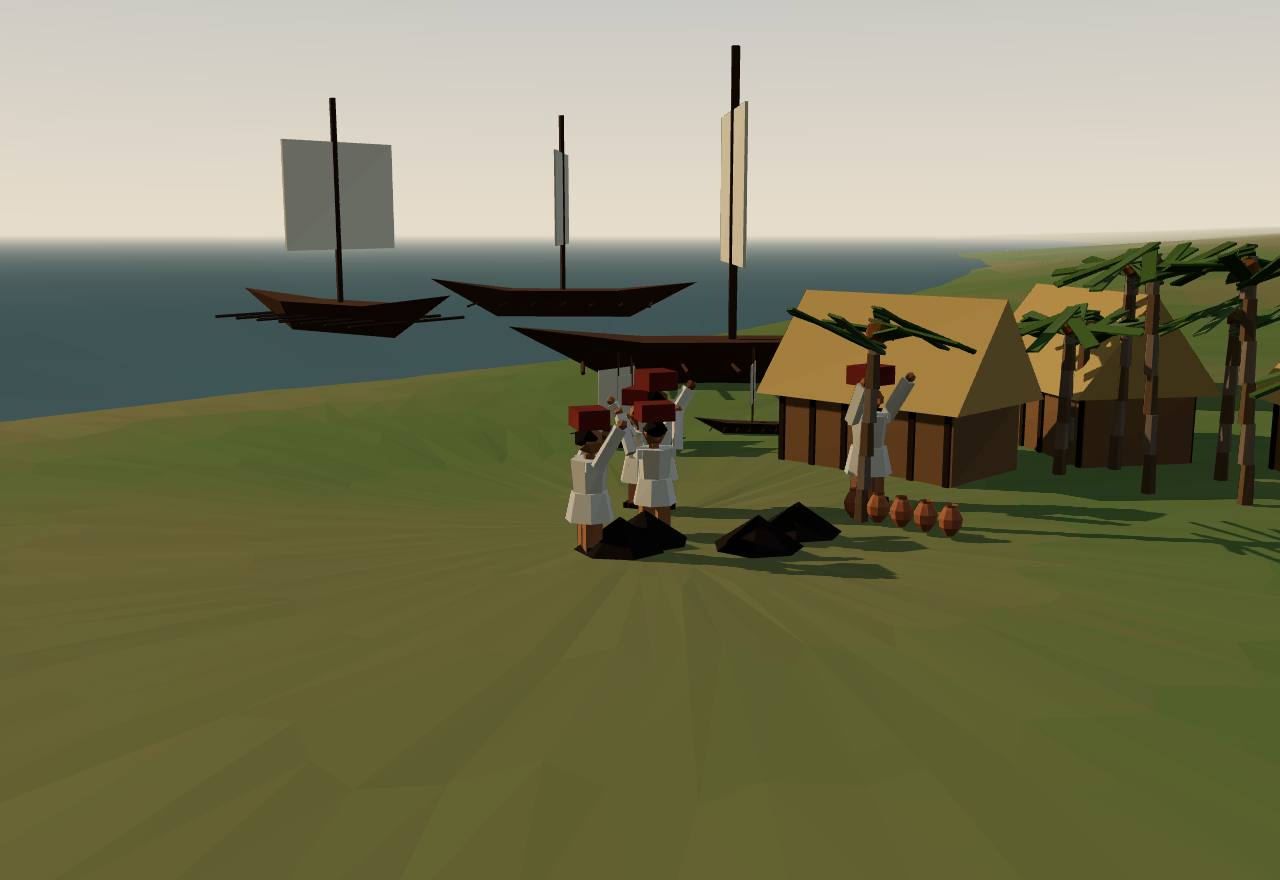
Muziris, the Chera pepper port, 1st century CE
Asoka's second rock edict lists among his borderers the Chodas, the Pandyas, the Satiyaputa “and the Ketalaputa”. Hultzsch takes Ketalaputa as a slip for Keralaputra: “the king of Kerala or Malabar”. 10 Consensus Texts
The Periplus, a Greek sailing guide that Schoff dated to about 54–60 CE, says: “Tyndis is of the Kingdom of Cerobothra … Muziris, of the same Kingdom, abounds in ships sent there with cargoes from Arabia, and by the Greeks”. Pepper came from “only one region near these markets, a district called Cottonara”. And: “The kings of both these market-towns live in the interior.” 30 Consensus Texts
Pliny the Elder, writing before 79 CE, says Muziris was forty days' sail from Arabia. It was not a good landing, with pirates nearby and ships anchored far out, their cargo carried ashore in boats. He adds: “regnabat ibi, cum proderem haec, Caelobothras” (when I wrote this, Caelobothras was king there). He also reckons that India drained the empire of at least 50 million sesterces a year. 31 Consensus Texts
A second-century papyrus in Vienna records a loan for a trading voyage to southern India; it names Muziris. The goods were to go to the warehouse of the tetarte, Rome's 25% import duty. In Federico Morelli's reading of the back, three parts of the cargo carried on the ship Hermapollon were worth 1,151 talents 5,852 drachmas. In Morelli's reconstruction, pepper alone weighed some 3,200–3,300 talents and was worth over 771 talents. 32 Debated Texts
Tamil poems describe the same trade, as Wheeler quotes them: “the beautifully built ships of the Yavanas came with gold and returned with pepper, and Muziris resounded with the noise”. Yavana meant men from the Greco-Roman world. 33 Debated Texts
In a cave near Pukalur, about ten miles from Karur, two Tamil-Brahmi inscriptions record the gift of a monastery to a Jaina monk. The donor was the grandson of King “Koo Aathan Cel-l-irumpotai”, and the gift was made at the prince's investiture. They name three generations of kings, and another inscription in the cave names Karu-uur. Mahadevan dated them to about 200 CE by their letter forms and concluded that the Irumpotai “ruled from Karur”. 11 Debated Texts
Mahadevan identified these three kings with the heroes of the seventh, eighth and ninth decads of the Patiṟṟuppattu, a Sangam anthology of praise poems for Chera kings, and held that the identification “can hardly be doubted”. Two more inscriptions at Pukalur name PiTan and Kottan, whom he took to be Chera commanders celebrated in the poems. 11 Debated Texts
Where was the capital? Kanakasabhai (1904) wrote of “Vanchi or Karur” and placed it up the Periyar in Kerala. Mahadevan placed it at Karur in Tamil Nadu, pointing to the Karu-uur inscription, Ptolemy's inland Korura and Roman coins found around the town. Schoff hedged: “at Karur, or Parur”. 34,11,30 Debated Texts
Where was Muziris? Excavators at Pattanam, 5 km south-east of the Periyar's mouth, found the first Roman sigillata from the whole west coast of India and over fifty amphora sherds. They see “a strong argument” for equating it with Muziris. Simmons calls the site “very tenuously linked with the Muziris of ancient sources”. 35,36 Debated Excavation
How power worked King · Heredity · Territorial state · 1 unknown
How power worked
- Who rules
- King Debated
Why?
- How chosen
- Heredity Debated
Why?
- Limits on power
- Unknown
Why?
Nothing read describes a council, assembly or rule that bound a Chera king: the inscriptions record gifts, and the foreign texts only name him.
- Scale
- Territorial state Debated
Why?
- Claim to rule
- Kinship and descent Debated
Why?
- Who has a say
- A narrow elite Debated
Why?
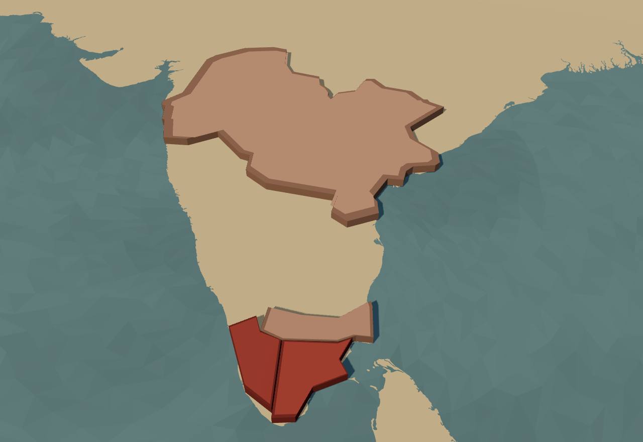
The three crowned kings and the Satavahanas (Cliopatria), 200 BCE and 100 CE
Territory: Cliopatria (CC BY 4.0), simplified. Height fixed: population not coded in Seshat.
CholaUraiyur and the port of Puhar
The Chodas of Asoka's edicts held the Kaveri country on the east coast. In this period they are the least attested of the three. No Chola king is among the kings Mahadevan's 1968 survey found in Tamil-Brahmi inscriptions, and the foreign texts name their coast but not their king.
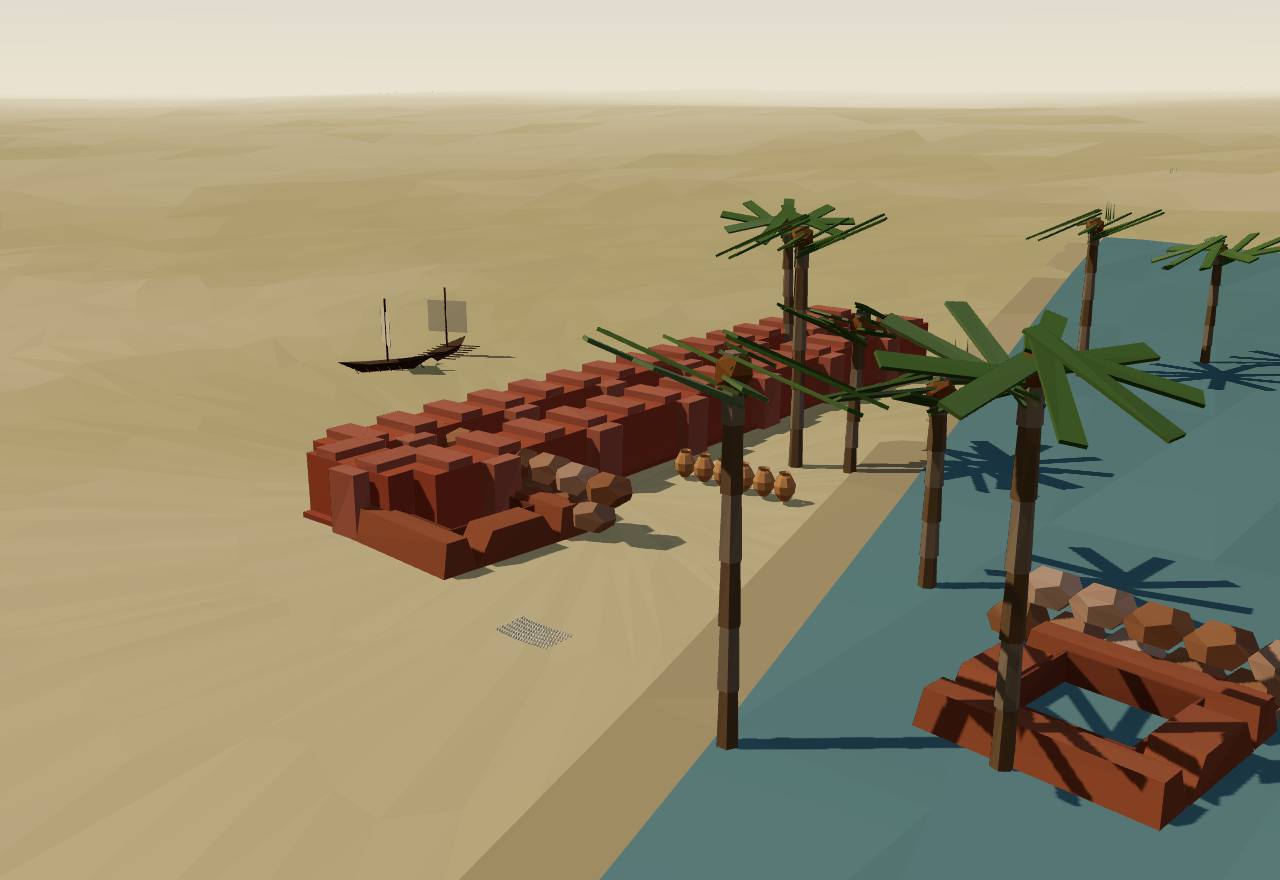
Arikamedu as excavated, on the Chola coast
Both of Asoka's edicts on his southern borderers name the Chodas, always beside the Pandyas. Hultzsch calls them “the two well-known principal dynasties of the Tamil country”, and notes that the Chodas, Sola in Tamil, were known to Ptolemy. 10 Consensus Texts
Beyond the Pandya pearl fishery the Periplus places “another district called the Coast Country, which lies on a bay, and has a region inland called Argaru”. There pearls were bought and muslins exported, and its ports were Camara, Poduca and Sopatma. It names no king here. Schoff identified the Coast Country with the Chola kingdom and Argaru with Uraiyur, “the ancient capital of the Chola kingdom”. 30 Debated Texts
K. A. Nilakanta Sastri, reading the poems, found “evidence of Cola rule from two centres at this period—Puhar or Kaverippattinam on the coast and Uraiyur inland”. He wrote that strife between the rival branches of the royal family “appears to have been a constant factor”, and that there is “no sure means of settling the order of their succession”. 37 Debated Texts
The Cholas of the ninth century claimed these kings as ancestors. Sastri thought that of the names in their copper-plate genealogies only Karikala, Koccenganan and probably Killi were historical kings of the Sangam poems, and that even for those two the plates were “more legendary than historical”. 37 Debated Texts
On the Chola coast, Wheeler excavated Arikamedu, two miles south of Pondicherry, as “one of the regular ‘Yavana’ or Western trading-stations”. He found a structure “upwards of 150 feet long, built about A.D. 50 on the former foreshore”, which he called a warehouse. There were walled yards with brick tanks, perhaps for dyeing muslin, and bead-making in gold, stone and glass. He thought the site was occupied from about the turn of the era to about 200 CE. 33 Debated Excavation
Vimala Begley later argued that Arikamedu's founding “should be pushed back to the middle of the third century B.C.”, with Mediterranean contacts perhaps by the late second century BCE, and re-dated its Arretine phase to the first quarter of the first century CE. 38 Debated Dating Excavation
Who governed Arikamedu? The excavation does not say. Wheeler found “no coins … in the ancient levels of the site”. Chola coins turned up only in areas of late disturbance, with medieval Chinese celadon. 33 Consensus Excavation
A Tamil poem that Wheeler quotes describes Puhar, the Chola port: “In different places of Puhar the onlooker's attention was arrested by the sight of the abodes of Yavanas [men from the Graeco-Roman world] whose prosperity never waned.” 33 Debated Texts
How power worked King · Heredity · Territorial state · 2 unknown
How power worked
- Who rules
- King Debated
Why?
- How chosen
- Heredity Debated
Why?
- Limits on power
- Unknown
Why?
No source read describes anything that checked a Chola king; the poems as Sastri reads them show rival branches of one family fighting for the throne.
- Scale
- Territorial state Debated
Why?
- Claim to rule
- Unknown
Why?
No early Chola inscription was read for this page. The poems praise war and plunder in general (Abraham), and nothing read speaks to what a Chola king claimed in particular.
- Who has a say
- A narrow elite Debated
Why?
PandyaMadurai and the pearl coast
The southernmost kingdom, around Madurai and the pearl fisheries of the Gulf of Mannar. The Pandyas are the best attested of the three. Asoka and Kharavela name them, Greek and Roman writers describe them, and the earliest Tamil inscriptions Mahadevan dated name a Pandya king.
Terms: India: Indus, Maurya and the South: The South: chiefs and crowned kings, Pandya
- Mathirai The Pandya capital as two Tamil-Brahmi inscriptions name it (Maththirai-y, Mathira): Madurai. Mahadevan: probably “a walled or fortified city”. 11
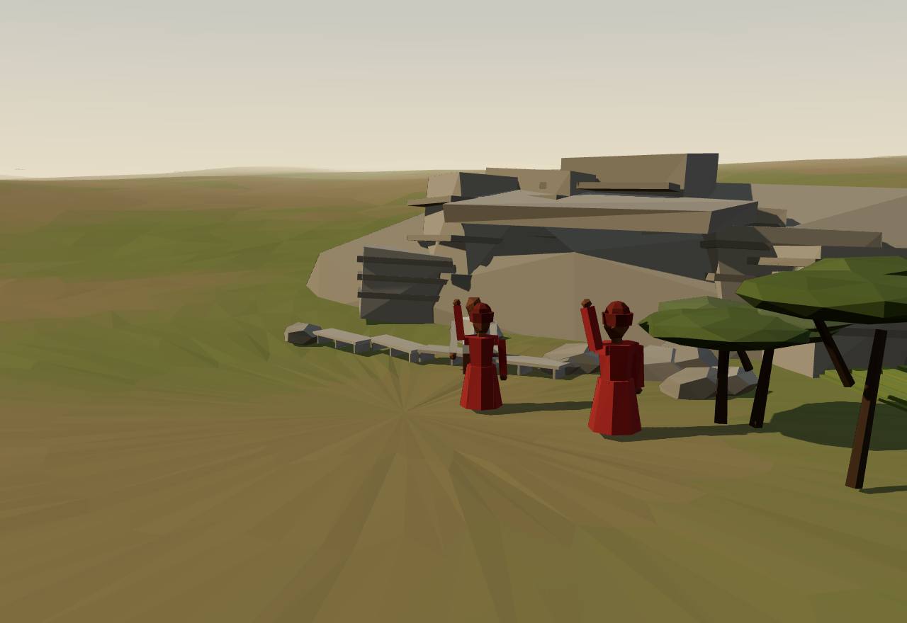
The Mangulam caverns near Madurai, late 2nd century BCE
Asoka names the Pandyas in both edicts on his southern borderers. His thirteenth rock edict claims that his dhamma has won the south too, “(where) the Chodas and Pandyas (are ruling), as far as Tamraparni”, which Hultzsch reads as Ceylon. 10 Consensus Texts
Kharavela of Kalinga claims in his Hathigumpha inscription that “horses, elephants, jewels and rubies as well as numerous pearls in hundreds” were brought to him “from the Pandya King”. The claim is a northern king's boast, from a damaged line. 25 Debated Texts
The Periplus says Nelcynda “is of another Kingdom, the Pandian”, and that the pearl fishery at Colchi, “worked by condemned criminals”, “belongs to the Pandian Kingdom”. Pliny adds that at the port of Becare “regnabat Pandion” (Pandion reigned), from a town far inland called Modura. Schoff took Colchi for Korkai, the first capital, and Modura for Madurai. 30,31 Consensus Texts
Strabo records gifts to Augustus that came “from one king, I mean Pandion, or another Porus”, with an Indian sophist who later burned himself at Athens. Only the name links this embassy to the Pandyas. 39 Debated Texts
At Mangulam near Madurai, two cave inscriptions that Mahadevan dated “towards the close of the Second Century B.C.” record the gift of a monastery to a monk, perhaps a Jaina. One donor was Kaṭalan Vazhuththi, an officer of “NheTunj-Cezhiyan”. The other called himself that man's brother-in-law. The name has no royal title, but Mahadevan took him to be “the reigning Pandyan King of the day”, earlier than his namesakes in the poems. 11 Debated Texts
Poems Wheeler quotes urge a Pandya prince to drink “the cool and fragrant wines brought by the Yavanas”, and tell of “valiant-eyed Yavanas” as guards at the gates of the fort walls, employed at Madurai. 33 Debated Texts
At Keezhadi (Keeladi), 13 km south-east of Madurai, the Tamil Nadu archaeology department reported six AMS dates between the sixth and third centuries BCE and dated the deposit “between 6th century BCE and 1st century CE”. That is a state report, not a peer-reviewed paper. In 2025 the ASI sent back its own excavator's report, asking for “concrete justification” of an 8th–5th century BCE timeline. No peer-reviewed publication of the dates was found for this page. 40,41 Debated Dating Excavation
How power worked King · Heredity · Territorial state · 1 unknown
How power worked
- Who rules
- King Debated
Why?
- How chosen
- Heredity Speculative
Why?
- Limits on power
- Unknown
Why?
No source read describes a body or rule that could check a Pandya king; the inscriptions show his officer and in-laws making gifts, not limiting him.
- Scale
- Territorial state Debated
Why?
- Claim to rule
- Force Debated
Why?
- Who has a say
- A narrow elite Debated
Why?
The hill chiefs
Between the three kingdoms lived chiefs who held hills and their villages: Pāri of Parambu, Atiyamāṉ (Anchi), and others named only in inscriptions. The poets who praised them give us nearly all we know.
Terms: India: Indus, Maurya and the South: The South: chiefs and crowned kings, The hill chiefs
- Vel A title borne by Pāri, whom Kanakasabhai calls “Vel Pari”, ruler of “a petty principality called Parambu”. 34
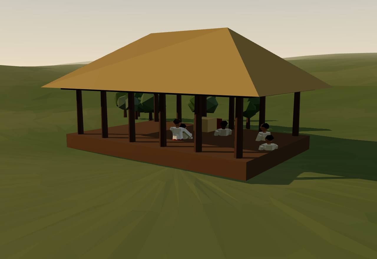
A hill chief and his poets (imagined from the Sangam poems)
In Kanakasabhai's account Pāri ruled “a petty principality called Parambu”, “acknowledging the authority of none of ‘the three kings’”. He was remembered as a patron of poets who welcomed every wandering minstrel. 34 Debated Texts
When the three kings besieged Parambu, the poet Kapilar sang (Puṟanāṉūṟu 110, in Kanakasabhai's translation): “It is hard to conquer Parambu though the three kings invest it with their allied armies. Three hundred in number are the villages in the fertile Parambu-Nad: and all the three hundred are now the property of bards. Myself and Pari remain: and here is our hill if ye come to us singing as minstrels do.” 34 Debated Texts
Kanakasabhai's retelling of the poems has the bards' praise of Pāri's hospitality stir the jealousy of the Chera, Chola and Pandya kings. Their armies guarded the passes and finally forced their way up the mountain, and Pāri was killed. 34 Speculative Texts
The poet Auvaiyār, who sang to a tabor, was close to Atiyamāṉ. When he gave her a nelli fruit said to prolong life, instead of eating it himself, she thanked him: “Thou Anchi! king of the Athiyar! Resistless in war … thou hast given me the sweet fruit of the Nelli-tree”. He also sent her on an embassy to another ruler, Thondaiman. 34 Debated Texts
Asoka's second rock edict lists the Satiyaputa between the Pandyas and the Keralaputra as another of his independent borderers. In 1925 Hultzsch wrote that the name “has not yet been identified successfully”. 10 Consensus Texts
Chiefs could serve kings and lose their hills to them. Mahadevan read the Pukalur inscriptions of PiTan and Kottan as naming the Chera commanders of the poems. On the poems' evidence, he thought Kuthiraimalai was probably taken from Athikamaan (Atiyamāṉ) and given to Kottan after a Chera king sacked ThakaTuur. 11 Debated Texts
Inscriptions name other chiefs the poems do not. At Mamandur near Kanchipuram, the northern limit of Tamil-Brahmi, KaNimaan “who took Theenuur” is recorded in letters no earlier than about 300 CE. Later, at Pillayarpatti, Peru ParaNan is named as chieftain of Eru-k-kaaTTuur. 11 Debated Texts
Abraham points out that besides kingship and war, the poems divide Tamilakam into five landscapes: coast, hills, pasture, river wetland and dry land. Each had its own way of living, from hunting and gathering to wet-rice farming, fishing and salt-making. The hill chiefs belonged to one of these worlds. Archaeology suggests a life that was largely local and “not controlled to a great degree” by the self-styled rulers. 12 Debated Texts Excavation
How power worked Chief · 5 unknown
How power worked
- Who rules
- Chief Debated
Why?
- How chosen
- Unknown
Why?
The poems and inscriptions name chiefs and sometimes their fathers (Ezhini, son of Athiyan, in Mahadevan's reading), but no source read says how a chief succeeded or was chosen.
- Limits on power
- Unknown
Why?
No source read describes a council or custom that bound a hill chief; what the poems show is the three kings' armies, which could end a chief's rule.
- Scale
- Unknown
Why?
Kapilar gives Pāri a hill country of three hundred villages, but nothing read says how such a chiefdom was held or bounded, and the axis values on offer (village, territorial state) both misdescribe it.
- Claim to rule
- Unknown
Why?
The poems praise chiefs for generosity to bards and for valour in war; the axis vocabulary has no value for gift-giving, and no source read describes another claim to rule.
- Who has a say
- Unknown
Why?
Who besides the chief and his poets had a say is not recorded: the poems, as Abraham notes, look at rulers and warriors, not at the people of the hills.
The Satavahanas (Deccan)120 BCE – 223 CENaneghat pass, Western Ghats
North of the Tamil country, in the Deccan that Asoka had ruled, a family called Sātavāhana had made itself king by the first century BCE. Its inscriptions are the first in the south to show a royal family as it wished to be seen: portraits in stone, sacrifices counted in cows and horses, and queens who commissioned the record.
Terms: India: Indus, Maurya and the South: The South: chiefs and crowned kings, The Satavahanas (Deccan)
- rājasūya A Vedic ritual of royal consecration; with the horse sacrifice it is among “the Vedic rituals of consecration and sovereignty” the Sātavāhanas performed (Ollett). 13
- Gotamiputa “Son of Gotamī”: Sātavāhana kings are named by their mother's line, “almost exclusively” Vasiṣṭha or Gotama on their mothers' sides (Ollett), e.g. Siri-Satakani Gotamiputa in the Nasik record (Senart). 13,42
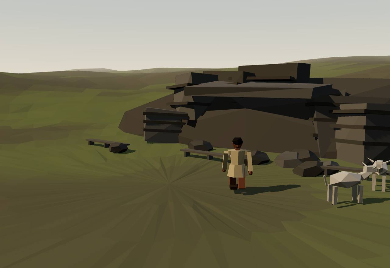
The Naneghat cave of the Satavahanas, 1st century BCE
Asoka's thirteenth rock edict lists the Andhras among peoples “here in the king's territory”, inside the empire. Hultzsch notes that Andhra was also the name of “an ancient dynasty which ruled over a considerable part of the Deccan after the decline of the Maurya empire”. Abraham notes that the Deccan, unlike the Tamil country, was part of the Maurya realm, and that the Satavahanas were the most important of the rulers who followed. 10,12 Consensus Texts
At Naneghat, a pass linking the coast to the Deccan plateau, the Sātavāhanas “created an unprecedented monument to their own power” (Ollett): a cave about 28 ft 7 in square and 7 ft 10 in high. A stone bench runs round three sides. On the back wall, a recess once held eight statues about life-size, of which only the feet remain, each with a name carved above it. The side walls were covered with an inscription. 13,43 Consensus Texts Survey
Bühler read the labels: “King Simuka Satavahana, the illustrious one”; “(The images) of the Queen, Naganika, and the King, the illustrious Satakarni”; then a mahārathi and princes. Ollett writes that “the sculptural representation of contemporary rulers is without earlier known precedents in India”. 44,13 Consensus Texts
The side-wall inscription lists Vedic sacrifices and the fees paid for them: 1,700 cows and 10 elephants for one; for “a second horse-sacrifice”, among other fees, 14,000 (?) kārṣāpaṇas and a village. Ollett reads it as a statement of kingship: “The Satavahanas sought to be kings rather than de facto rulers”, and their rituals “entailed a performance of their powers of redistribution”. 44,13 Consensus Texts
The inscription is in Prakrit, “a western variety of Middle Indic, clearly continuous with the language of Asoka's inscriptions”. Ollett makes this the point of his chapter: “in their world, political power never spoke Sanskrit.” 13 Debated Texts
In Nasik Cave 3, in the nineteenth year of King Pulumayi, the great queen Gotami Balasiri praised her son Siri-Satakani Gotamiputa: “king of Asika, Asaka …”, “who destroyed the Sakas, Yavanas and Palhavas; who never levied nor employed taxes but in conformity to justice … who rooted out the Khakharata race; who restored the glory of the Satavahana family … who stopped the contamination of the four varnas”, and “the unique Brahmana”. Ollett notes that her son had died almost twenty years earlier. 42,13 Consensus Texts
Both great royal inscriptions were made by queens: Naganika's at Naneghat and Balasiri's at Nasik. Ollett describes the kings' “standard nomenclature” in their inscriptions: a metronymic from the mother's line, a god's name and a personal name, as in Gautamiputra Sri Satakarni. 13,44,42 Consensus Texts
How big was the kingdom? Cliopatria draws the Satavahana Dynasty at about 535,000 km² in 225–171 BCE, about 890,000 km² from 27 BCE to 126 CE, and about 750,000 km² in 184–223 CE. Seshat's Equinox panel for the Satavahana Empire (InSataL, 100 BCE–200 CE) codes 1.2–1.6 million km², 7–9.5 million people, five levels of administration, a largest settlement of 84,000, full-time bureaucrats and a formal legal code. The two datasets disagree by about half on the area. 16,29 Debated Survey
How power worked King · Heredity · Territorial state · 1 unknown
How power worked
- Who rules
- King Consensus
Why?
- How chosen
- Heredity Debated
Why?
- Limits on power
- Unknown
Why?
The inscriptions are royal praise. That Gautamīputra “never levied nor employed taxes but in conformity to justice” (Senart) is his family's claim about him, not evidence of a body that could check him.
- Scale
- Territorial state Debated
Why?
- Claim to rule
- Divine mandate Debated
Why?
- Who has a say
- A narrow elite Debated
Why?
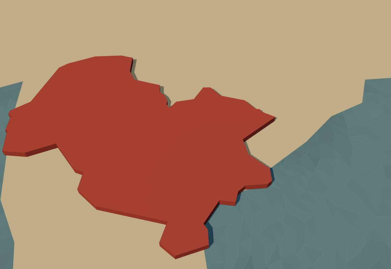
The Satavahana kingdom (Cliopatria), 200 BCE–200 CE
Territory: Cliopatria (CC BY 4.0), simplified. Height fixed: population not coded in Seshat.
Who names the southern kings?
Data: the inscriptions and texts as their editors print them
What each source says about each southern power, in the words of its editors. An empty cell means the source does not name it. Read down a column to see how a kingdom is known: the Pandyas from every kind of source, the Cholas almost only from Asoka, the Periplus and the poems.
| Source | Chera | Chola | Pandya | Chiefs, others | Deccan (Andhra, Satavahana) |
|---|---|---|---|---|---|
| Asoka, Rock Edict II 3rd century BCE · Inscriptions 10 | “the Ketalaputa” (Keralaputra), a borderer | “the Chodas”, borderers | “the Pandyas”, borderers | “the Satiyaputa”, a borderer, unidentified (Hultzsch) | not named |
| Asoka, Rock Edict XIII 3rd century BCE · Inscriptions 10 | not named | reached by the dhamma, “as far as Tamraparni” | reached by the dhamma, with the Chodas | not named | the Andhras, “here in the king's territory” |
| Mangulam cave inscriptions close of the 2nd century BCE (Mahadevan) · Inscriptions 11 | not named | not named | NheTunj-Cezhiyan, named by his officer and his brother-in-law | not named | not named |
| Kharavela, Hathigumpha inscription 2nd or 1st century BCE (debated) · Inscriptions 25,26 | not named | not named | pearls and jewels brought “from the Pandya King” | “the confederacy of the T[r]amira (Dramira) countries”, broken up | not named |
| Naneghat cave inscription and labels 1st century BCE (Ollett, Sircar); 200–150 BCE (Bühler) · Inscriptions 44,13,26 | not named | not named | not named | not named | Simuka Satavahana; Queen Naganika and King Satakarni; sacrifices and fees |
| Periplus of the Erythraean Sea §§ 54–60 c. 54–60 CE (Schoff) · Foreign texts 30 | “the Kingdom of Cerobothra”: Tyndis, Muziris; kings “live in the interior” | “the Coast Country” and inland Argaru, no king named (Schoff: the Chola land) | “the Pandian” kingdom: Nelcynda and the Colchi pearl fishery | not named | not named |
| Pliny, Natural History 6.104–105 before 79 CE · Foreign texts 31 | at Muziris “Caelobothras” reigned when he wrote | not named | “Pandion” reigned at Becare, from inland Modura | not named | not named |
| Strabo, Geography 15.1.4 reign of Augustus · Foreign texts 39 | not named | not named | gifts to Augustus from “Pandion, or another Porus” | not named | not named |
| Nasik Cave 3, Gotami Balasiri's inscription 19th year of Pulumayi (c. 103 CE in Ollett) · Inscriptions 42,13 | not named | not named | not named | not named | Siri-Satakani Gotamiputa, “who destroyed the Sakas, Yavanas and Palhavas” |
| The Muziris papyrus 2nd century CE · Foreign texts 32 | Muziris named; a cargo with pepper, taxed 25% at Alexandria | not named | not named | not named | not named |
| Pukalur cave inscriptions c. 200 CE (Mahadevan) · Inscriptions 11 | three generations of Irumpotai kings; a prince's investiture; Karu-uur | not named | not named | PiTan and Kottan (Chera commanders, in Mahadevan's reading) | not named |
| Mamandur cave inscription not before c. 300 CE (Mahadevan) · Inscriptions 11 | not named | not named | not named | KaNimaan “who took Theenuur” | not named |
| Sangam poems, as quoted by Wheeler and Kanakasabhai debated: 1st century BCE to 9th century CE · Tamil poems 33,34,12,45 | Yavana ships bring gold to Muziris and leave with pepper | the Yavanas' quarters at Puhar | Yavana wine for a Pandya prince; Yavana guards at Madurai | Pāri of Parambu besieged by the three kings; Atiyamāṉ and Auvaiyār | not named |
13 sources: Chera 6 · Chola 4 · Pandya 8 · Chiefs, others 5 · Deccan (Andhra, Satavahana) 3
Artefacts
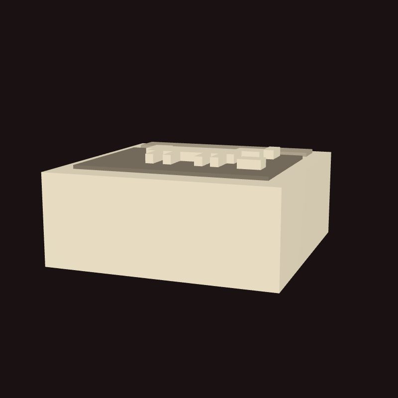 Model, not a scan
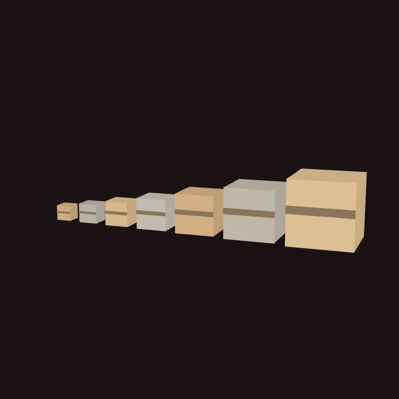 Model, not a scan
 Model, not a scan
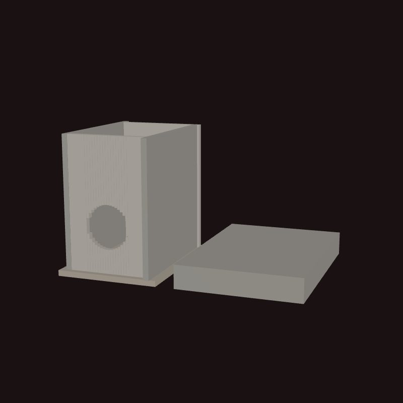 Model, not a scan
In numbers
- Marks, by Seshat polity:
- Kachi Plain - Urban Period I
- Kachi Plain - Urban Period II
- Kachi Plain - Post-Urban Period
- Kachi Plain - Proto-Historic Period
- Chalcolithic Middle Ganga
- Mahajanapada era
- Mauryan Empire
- Background bands, by phase:
- The Harappan cities
- After the cities: the Vedic age
- Kingdoms and gaṇasaṅghas
- The Maurya empire
- The South: chiefs and crowned kings
| Seshat polity | Years | Value |
|---|---|---|
| Chalcolithic Middle Ganga | 3,000 BCE – 601 BCE (whole period) | suspected unknown |
| Kachi Plain - Urban Period I | 2,500 BCE – 2,100 BCE (whole period) | 100,000–170,000 |
| Kachi Plain - Urban Period II | 2,100 BCE – 1,801 BCE (whole period) | 100,000–170,000 |
| Mauryan Empire | 324 BCE – 187 BCE (whole period) | 4,000,000 |
| Seshat polity | Years | Value |
|---|---|---|
| Chalcolithic Middle Ganga | 3,000 BCE – 601 BCE (whole period) | suspected unknown |
| Kachi Plain - Proto-Historic Period | 1,300 BCE – 500 BCE (whole period) | 450–1,800 |
| Mauryan Empire | 324 BCE – 187 BCE (whole period) | 18,000,000 |
| Mauryan Empire | 324 BCE – 187 BCE (whole period) | 100,000,000 |
| Seshat polity | Years | Value |
|---|---|---|
| Chalcolithic Middle Ganga | 3,000 BCE – 601 BCE (whole period) | suspected unknown |
| Kachi Plain - Urban Period I | 2,500 BCE – 2,100 BCE (whole period) | 100,000 |
| Kachi Plain - Urban Period II | 2,100 BCE – 1,801 BCE (whole period) | 100,000 |
| Kachi Plain - Post-Urban Period | 1,800 BCE – 1,300 BCE (whole period) | 450–1,800 |
| Mahajanapada era | 600 BCE – 324 BCE (whole period) | 12,000–48,000 |
| Mauryan Empire | 324 BCE – 187 BCE (whole period) | 50,000 |
| Mauryan Empire | 324 BCE – 187 BCE (whole period) | 270,000 |
| Seshat polity | Years | Value |
|---|---|---|
| Kachi Plain - Urban Period I | 2,500 BCE – 2,100 BCE (whole period) | 1–2 |
| Kachi Plain - Urban Period II | 2,100 BCE – 1,801 BCE (whole period) | 1–2 |
| Kachi Plain - Post-Urban Period | 1,800 BCE – 1,300 BCE (whole period) | 0–2 |
| Kachi Plain - Proto-Historic Period | 1,300 BCE – 500 BCE (whole period) | 1–2 |
| Mahajanapada era | 600 BCE – 324 BCE (whole period) | 4 |
| Mauryan Empire | 324 BCE – 187 BCE (whole period) | 7 |
| Seshat polity | Years | Value |
|---|---|---|
| Chalcolithic Middle Ganga | 3,000 BCE – 601 BCE (whole period) | 1–2 |
| Kachi Plain - Urban Period I | 2,500 BCE – 2,100 BCE (whole period) | 3–4 |
| Kachi Plain - Urban Period II | 2,100 BCE – 1,801 BCE (whole period) | 3–4 |
| Kachi Plain - Post-Urban Period | 1,800 BCE – 1,300 BCE (whole period) | 1–2 |
| Kachi Plain - Proto-Historic Period | 1,300 BCE – 500 BCE (whole period) | 1–2 |
| Mahajanapada era | 600 BCE – 324 BCE (whole period) | 4 |
| Mauryan Empire | 324 BCE – 187 BCE (whole period) | 4 |
| Seshat polity | Years | Value |
|---|---|---|
| Kachi Plain - Urban Period I | 2,500 BCE – 2,100 BCE (whole period) | 0–1 |
| Kachi Plain - Urban Period II | 2,100 BCE – 1,801 BCE (whole period) | 0–1 |
| Kachi Plain - Post-Urban Period | 1,800 BCE – 1,300 BCE (whole period) | 0–1 |
| Mahajanapada era | 600 BCE – 324 BCE (whole period) | 4 |
| Mauryan Empire | 324 BCE – 187 BCE (whole period) | 7 |
Values as Seshat codes them: bands are ranges, dots single values, flat bars values given for a whole period, hatching “unknown”; from one Seshat polity to the next, marks alternate between a light tone and a darker one with dashed joining lines (the key above names each polity). Source: Seshat Global History Databank (Equinox-2020), CC BY 4.0.
Governance fingerprint
Seshat's institutional variables, phase by phase. Hover or focus a cell for the values and years.
- Present
- Inferred present
- Absent
- Inferred absent
- Unknown
- Not coded in Seshat
- Mixed: present in one Seshat polity or period, absent in another
Not coded in Seshat: Kingdoms and gaṇasaṅghas: Magadha, Kingdoms and gaṇasaṅghas: The Vajji, The South: chiefs and crowned kings: Before the kings: the megaliths, The South: chiefs and crowned kings: Chera, The South: chiefs and crowned kings: Chola, The South: chiefs and crowned kings: Pandya, The South: chiefs and crowned kings: The hill chiefs, The South: chiefs and crowned kings: The Satavahanas (Deccan). The Seshat Databank has no polity for them, so their six axes rest on the cited scholarship alone.
The axes against Seshat
2 agree, 0 disagree.
Show the 2 pairs that agree
- Agree The Maurya empire: limits on power coded “None in practice”, which implies executive checked by government absent; Seshat has it inferred absent.
- Agree The Maurya empire: how chosen coded “Heredity”, which implies elite status hereditary present; Seshat has it present.
Only pairs where an axis value on its own implies a Seshat variable are compared; the rest is not counted as disagreement. 2 more pairs have no Seshat value.
Source: Seshat Global History Databank (Equinox-2020), CC BY 4.0.
Compare
| Axis | India: Indus, Maurya and the South | China: Shang | Achaemenid Persia: Cyrus and Cambyses | Greece: Athens |
|---|---|---|---|---|
| Who rules | Unknown | King | Emperor | Elected magistrates |
| How chosen | Unknown | Heredity | Conquest or coup | Mixed |
| Limits on power | Unknown | None in practice | Custom and kin | Written law |
| Scale | City-state | Territorial state | Empire | City-state |
| Claim to rule | Unknown | Divine mandate | Divine mandate | Law |
| Who has a say | Unknown | A narrow elite | A narrow elite | Property owners |
Legacy
Coningham and Young end their archaeology of South Asia with Asoka because the Mauryan Empire “brought together for the first time much of South Asia under a single hegemony, one which formed the basis of the state traditions which held sway for the next two millennia.” 5 Debated
The best-preserved of Asoka's pillar capitals, from Sarnath, is today the state emblem of the Republic of India. 4 Consensus
Every modern Indian script descends from Brahmi, the script of Asoka's edicts in India proper. 4 Consensus
Witzel holds that the civilisation of the Kuru realm shaped later Indian ritual, society and political forms, “frequently even until today”. 3 Debated
After the Mauryas, regional states shaped Indian history until British rule, interrupted only by the subcontinental empires of the Guptas, the Delhi Sultanate and the Mughals. 4 Debated
What came later in the South gets its own page in Wave 2: the imperial Cholas, the medieval Pandyas, the Chera Perumals of Mahodayapuram and Vijayanagara. Cliopatria draws, after the Early Cheras, Cholas and Pandyas (to 305 CE), a Kalabhra dynasty from 353, the Pallavas, a Chola Empire from 850 to 1259, a Pandya Empire from 1216 to 1325, and Vijayanagara from 1344. Under the Chola king Parāntaka I, inscriptions at Uttaramerur (919 and 921 CE) set out how the village assembly filled its committees. Each of thirty wards prepared name tickets and lots were drawn. Sastri warned against reading modern democracy into them. 16,48 Consensus
See also forms of government and the country edition.
Sources
Bibliography
48 sources, numbered as cited: 20 papers · 13 books · 3 datasets · 9 primary sources · 3 popular syntheses
- Paper Green, A. S. (2020). Killing the Priest-King: Addressing Egalitarianism in the Indus Civilization. Journal of Archaeological Research 29. The Indus lacked clear rulers, palaces or elaborate tombs: argues it was complex yet comparatively egalitarian.
- Paper Petrie, C. A., Singh, R. N., Bates, J., et al. (2017). Adaptation to Variable Environments, Resilience to Climate Change: Investigating Land, Water and Settlement in Indus Northwest India. Current Anthropology 58. Indus settlement across overlapping winter and summer rainfall zones: adaptation and resilience to climate change.
- Paper Witzel, M. (1995). Early Sanskritization: Origins and Development of the Kuru State. Electronic Journal of Vedic Studies 1(4), doi:10.11588/ejvs.1995.4.823. Read in full (open access, Heidelberg). DOI registered with DataCite, not Crossref, so the entry is checked by URL.
- Paper Kulke, H. (2014). Der Maurya-Staat (4.–2. Jh. v. Chr.): Gesamtindisches Großreich oder Imperium?. In M. Gehler, R. Rollinger (eds.), Imperien und Reiche in der Weltgeschichte, Harrassowitz, 503–514; open-access copy doi:10.11588/xarep.00004028. Read in full (German; open-access copy, Heidelberg). Quotations on this page are translated from the German.
- Book Coningham, R., Young, R. (2015). The Archaeology of South Asia: From the Indus to Asoka, c.6500 BCE–200 CE. Cambridge University Press. Book abstract and chapter 1 ('Introduction and definitions', free on Cambridge Core) read; the later chapters could not be opened, so only claims from chapter 1 cite it.
- Primary Shamasastry, R. (tr.) (1915). Kautilya's Arthaśāstra. Government Press, Bangalore (Internet Archive scan). J. F. Fleet's introductory note and the translator's preface read: the traditional dating of the text to 321–300 BC.
- Paper McClish, M. (2012). Is the Arthaśāstra a Mauryan Document?. In P. Olivelle, J. Leoshko, H. P. Ray (eds.), Reimagining Aśoka: Memory and History, Oxford University Press India, 280–309; author's copy on Zenodo, doi:10.5281/zenodo.10198387. Read in full (author's copy, CC BY). The Zenodo DOI is registered with DataCite, so the entry is checked by URL.
- Paper Bauer, A. M., Johansen, P. G., Bauer, R. L. (2007). Toward a Political Ecology in Early South India: Preliminary Considerations of the Sociopolitics of Land and Animal Use in the Southern Deccan, Neolithic through Early Historic Periods. Asian Perspectives 46(1), 3–35. Read in full (open access, ScholarSpace, University of Hawai'i).
- Book Badhreenath, S. (2020). Excavations at Adichchanallur. Archaeological Survey of India, New Delhi (Internet Archive, Public Domain Mark). The ASI excavation report of 2004–05 seasons: foreword, the burial phases and the dating chapter with the Beta Analytic sheets read. An official monograph, not a journal article.
- Primary Hultzsch, E. (1925). Inscriptions of Asoka, new edition (Corpus Inscriptionum Indicarum, vol. I). Clarendon Press, Oxford (Internet Archive scan). Introduction (the sites, Asoka's empire, the council of Mahāmātras), the Kalsi and Lauriya-Nandangarh descriptions and the translations of rock edicts VI and XIII read in the scan's text layer.
- Paper Mahadevan, I. (1968). Tamil-Brahmi inscriptions of the Sangam age. Plenary paper, II International Conference-Seminar of Tamil Studies, Madras, 3–10 January 1968 (Tamil Virtual Academy scan, Internet Archive). Printed pages 29–34 (conclusions; the history section: Pukalur, Mangulam, other chieftains; territorial divisions; cities) read, OCR'd from the page images because the archive text layer is unusable. Transliterations are Mahadevan's own capitalised scheme (e.g. NheTunj-Cezhiyan).
- Paper Abraham, S. A. (2003). Chera, Chola, Pandya: Using Archaeological Evidence to Identify the Tamil Kingdoms of Early Historic South India. Asian Perspectives 42(2), 207–223. Read in full (open access, ScholarSpace, University of Hawai'i).
- Book Ollett, A. (2017). Language of the Snakes: Prakrit, Sanskrit, and the Language Order of Premodern India. University of California Press (Luminos, open access). Chapter 2 (pp. 28–39: Naneghat, the Sātavāhanas and Prakrit) and Appendices A–B (the time line and the inscriptions) read in the OAPEN copy.
- Book Marshall, J. (ed.) (1931). Mohenjo-daro and the Indus Civilization, vol. I. Arthur Probsthain, London (Internet Archive scan, Digital Library of India). The excavation report. Preface (no temples, palaces or tombs identified) and the Great Bath description read in the scan's text layer.
- Book Hemmy, A. S. (1931). System of weights at Mohenjo-daro. In J. Marshall (ed.), Mohenjo-daro and the Indus Civilization, vol. II, Arthur Probsthain, London, 589–598 (Internet Archive scan). Read in the scan's text layer: the ratio series, 147 of 159 weights used, the mean of the ratio-16 group (13.71 g). The OCR of Table I is unreadable, so no other group means are used.
- Dataset Bennett, J. S., Mutch, E., Tollefson, A., et al. (2025). Cliopatria - A geospatial database of world-wide political entities from 3400BCE to 2024CE. Scientific Data 12. Cliopatria: open geospatial dataset of over 1600 political entities, 3400 BCE–2024 CE.
- Paper Giosan, L., Clift, P. D., Macklin, M. G., et al. (2012). Fluvial landscapes of the Harappan civilization. Proceedings of the National Academy of Sciences 109. Abstract read (Europe PMC): settled area declined from about 3,900 years ago with a shift of sites eastward; only monsoon-fed rivers watered the Ghaggar-Hakra interfluve in the Holocene, not a glacier-fed 'Sarasvati'.
- Primary Whitney, W. D. (tr.), Lanman, C. R. (ed.) (1905). Atharva-Veda Saṃhitā, vol. I (Harvard Oriental Series 7). Harvard University (Internet Archive scan). Hymns 3.4 ('To establish a king') and 7.12 ('For success in the assembly') read in the scan's text layer.
- Book Sharma, J. P. (1968). Republics in ancient India. BRILL. Contents, A. L. Basham's foreword and the author's preface read (free on Brill); the chapters could not be opened.
- Primary Bhikkhu Sujato (tr.) (2018). Muluposathasutta (AN 3.70): The Roots of the Sabbath. SuttaCentral (translation dedicated to the public domain, CC0). Section 28 (the sixteen great countries) read, with the Pāli root text.
- Primary McCrindle, J. W. (tr.) (1877). Ancient India as Described by Megasthenês and Arrian: Being a Translation of the Fragments of the Indika of Megasthenês. Trübner, London (Internet Archive scan). Megasthenes' fragments as quoted by Strabo, Arrian and Diodorus: fragments I (Diodorus II.35–42), XXV–XXVI (Pataliputra) and XXXIV (officers of state) read, with the editor's notes (the 1876 Patna palisade).
- Primary Bhikkhu Sujato (tr.) (2018). Mahāparinibbānasutta (DN 16): The Great Discourse on the Buddha's Extinguishment. SuttaCentral (translation dedicated to the public domain, CC0). Sections 1.1–1.5 (Ajātasattu and the Vajjis), 1.26–1.28 (the citadel at Pāṭali village) and 2.15–2.17 (the Licchavis of Vesālī) read, with the Pāli root text.
- Book Olivelle, P. (2013). King, Governance, and Law in Ancient India: Kautilya's Arthasastra. Oxford University Press. Book abstract read (OpenAlex record of the OUP book): what the Arthaśāstra is about, a 'scientific treatise' on expanding a king's territory and organising his bureaucracy.
- Dataset Wikidata contributors (2026). Coordinates of Asokan inscription sites (items listed in the note). Wikidata (CC0), read 15 Nov 2026. P625 coordinates of Q63342996 (Girnar), Q56064770 (Kalsi), Q7461477 (Shahbazgarhi), Q6751573 (Mansehra), Q3498218 (Dhauli), Q11927218 (Jaugada), Q7562815 (Sopara), Q4730345 (Allahabad), Q18210863 (Rampurva), Q19019202 (Lauriya-Nandangarh), Q324394 (Sarnath), Q181123 (Sanchi), Q85782651 (Lumbini/Rummindei), Q3360195 (Maski), Q4955533 (Brahmagiri), Q2544533 (Bairat), Q1949410 (Sahasram), Q27958798 (Kandahar), Q156093 (Taxila). Town-level points, not the stones themselves, where no item for the inscription exists.
- Paper Jayaswal, K. P., Banerji, R. D. (1930). The Hathigumpha inscription of Kharavela. Epigraphia Indica 20 (1929–30), 71–89 (Internet Archive scan). Read in full in the text layer: text and translation of lines 11–13 (the Tramira confederacy, the Pandya king's pearls), the notes, the editors' palaeographic dating and their warnings about the damaged lower lines.
- Book Sircar, D. C. (1965). Select Inscriptions Bearing on Indian History and Civilization, vol. I, 2nd edn. University of Calcutta (Internet Archive scan). Headnotes and English footnotes to the Nanaghat and Hathigumpha inscriptions read; the texts are printed in Devanagari and not quoted here.
- Paper Wheeler, R. E. M. (1948). Brahmagiri and Chandravalli 1947: Megalithic and other Cultures in Mysore State. Ancient India 4 (July 1947–January 1948), 180–310 (1984 Archaeological Survey of India reprint, Internet Archive). Read in the scan's text layer: the cist-circles (slabs, svastika plan, east port-hole, capstone, cairn and boulder circle), the two-stage rite, Megaliths I, IV, V and X, the Isila edict, and Wheeler's provisional dating (c. 200 BCE–50 CE), since revised.
- Paper Rea, A. (1904). Prehistoric antiquities in Tinnevelly. Archaeological Survey of India, Annual Report 1902–03, Calcutta, 111–140 (Internet Archive scan). Pages 111–117 (the Adichanallur urn field, its contents, Rea's inference about bronze and gold) read in the scan's text layer. Rea's dating is long superseded.
- Dataset Turchin, P., Hoyer, D., Bennett, J., Reddish, J., Benam, M. (2022). Seshat Equinox Packaged Data (v.1). Zenodo, doi:10.5281/zenodo.6642230 (Equinox-2020 release).
- Primary Schoff, W. H. (tr.) (1912). The Periplus of the Erythraean Sea: Travel and Trade in the Indian Ocean. Longmans, Green, New York (Internet Archive scan). Sections 53–60 and Schoff's notes on Cerobothra, the Pandian kingdom, the Coast Country and Argaru read, with his dating of the text (c. 54–60 CE, his view in 1912). For the Ethiopia page, §§ 3–6, pp. 22–24 (Ptolemais of the Hunts, Adulis, Coloe, 'the city of the people called Auxumites', Zoscales, the imports and exports) and Schoff's notes pp. 60–67 (his own identifications, used only as his), read in another scan of the same edition (archive.org cu31924030139236).
- Primary Pliny the Elder (Mayhoff, K. ed.) (1906). Naturalis Historia, book VI. Teubner text on LacusCurtius (B. Thayer); translations on this page are our own. Sections 101 and 104–105 read in Latin (Muziris, Caelobothras, Becare, Pandion at Modura; the 50 million sesterces drained by India). Bostock & Riley's 1855 English gives 550 million and is not used for the figure.
- Paper Morelli, F. (2011). Dal Mar Rosso ad Alessandria. Il verso (ma anche il recto) del 'papiro di Muziris' (SB XVIII 13167). Tyche 26, 199–233 (CC BY 4.0). Read in full (Italian; quotations translated): the papyrus dated to the 2nd century CE, the tetarte (25% import duty), the revised verso totals (three parts of the Hermapollon's cargo, 1,151 talents 5,852 drachmas) and the pepper.
- Paper Wheeler, R. E. M., Ghosh, A., Krishna Deva (1946). Arikamedu: an Indo-Roman trading-station on the east coast of India. Ancient India 2, 17–124 (Internet Archive scan). Summary, setting, chronology, the 'warehouse', the tanks and the note on coins read in the text layer, with the Tamil poems it quotes on the Yavanas.
- Book Kanakasabhai, V. (1904). The Tamils Eighteen Hundred Years Ago. Higginbotham, Madras (1956 South India Saiva Siddhanta Works reprint, Internet Archive, Public Domain Mark). Read in the text layer: the capitals, Korkai, Pāri and Parambu (with his translation of Puṟanāṉūṟu 110 by Kapilar) and Auvaiyār's poems to Atiyamāṉ (Puṟam 91, 94). An early twentieth-century reading that takes the poems as history.
- Paper Shajan, K. P., Cherian, P. J., Tomber, R., Selvakumar, V. (2008). The external connections of Early Historic Pattanam, India: the ceramic evidence. Antiquity 82 (Project Gallery). Read in full (Cambridge Core).
- Paper Simmons, J. A. (2023). Behind gold for pepper: The players and the game of Indo-Mediterranean trade. Journal of Global History 18(3), 343–364 (CC BY). Read in full (Cambridge Core HTML).
- Book Nilakanta Sastri, K. A. (1935). The Cōḷas, vol. I. University of Madras (Internet Archive scan). The chapters on the Periplus and on the Colas of early Tamil literature (Uraiyur and Puhar, the rival branches, Karikala) read in the text layer.
- Paper Begley, V. (1983). Arikamedu Reconsidered. American Journal of Archaeology 87(4), 461–481. Abstract read (ArchaeoBib): the earlier founding date and the re-dated Arretine phase.
- Primary Strabo (Jones, H. L. tr.) (1930). Geography, book XV (Loeb Classical Library). Harvard University Press, on LacusCurtius (B. Thayer). 15.1.4 read (the embassy to Augustus 'from one king, I mean Pandion, or another Porus').
- Book Tamil Nadu State Department of Archaeology (2019). Keeladi: An Urban Settlement of Sangam Age on the Banks of River Vaigai. Government of Tamil Nadu, Chennai (Internet Archive, Public Domain Mark). English text read in full. A state publication, not peer-reviewed; the six AMS dates are given in prose (no table in the text layer).
- Popular Scroll staff (2025). ASI asks archaeologist Amarnath Ramakrishna to rework his Keeladi excavation report. Scroll.in, May 2025. Read in full: the ASI letter's request for 'concrete justification' of an 8th–5th century BCE timeline. Press report, not a scholarly source.
- Paper Senart, É. (1906). The inscriptions in the caves at Nasik. Epigraphia Indica 8 (1905–06), 59–96 (Internet Archive scan). No. 2, the Nasik Cave 3 inscription of Gotamī Balasirī (text and translation), read in the scan's text layer.
- Book Campbell, J. M. (ed.) (1885). Gazetteer of the Bombay Presidency, vol. XVIII, Poona, part III. Government Central Press, Bombay (Internet Archive scan). The Nanaghat pass and cave (pp. 219–221) read in the text layer: the cave's size, bench, back-wall recess with eight statues and their name labels, and the inscribed side walls.
- Paper Bühler, G. (1883). The Nanaghat inscriptions. In J. Burgess, Report on the Elura Cave Temples and the Brahmanical and Jaina Caves in Western India (Archaeological Survey of Western India 5), London, 59–74 (Internet Archive scan). Read in full in the text layer: the cave's layout, the label inscriptions, the queen's epithets, the sacrifices and fees, Bühler's regency argument and his date (200–150 BCE).
- Paper Tieken, H. (2003). Old Tamil Cankam literature and the so-called Cankam period. The Indian Economic & Social History Review 40(3), 247–278. Abstract read (RePEc), which states the argument and its conclusion; the article is paywalled. Crossref prints the title with an OCR slip ('Cahkam').
- Popular Yatheeskumar, V. P. (2011). A note on Porunthal AMS dates. Porunthal excavation blog (Pondicherry University team), October 2011. Read in full: the excavators' announcement of the paddy date and their claim for pre-Asokan Tamil-Brahmi. Not peer-reviewed; the peer-reviewed version (Prāgdhārā 21–22) could not be found.
- Popular The Hindu (reposted by J.-L. Chevillard) (2011). Porunthal: dating of paddy in the 5th century B.C. (INDOLOGY list, 15 October 2011). INDOLOGY mailing list archive (University of Liverpool list). Read in full: The Hindu's report of 15 Oct 2011, reposted on the list (the second paddy date, and that many scholars would not accept one sample).
- Book Nilakanta Sastri, K. A. (1932). Studies in Cōḷa History and Administration. University of Madras (Internet Archive scan). The Uttaramerur essay read in the text layer: the inscriptions of Parāntaka I (years 12 and 14, A.D. 919 and 921), the name tickets and lots, and Sastri's warning against reading modern democracy into them.
Quantitative values from the Seshat Global History Databank (Equinox-2020), licensed CC BY 4.0. Dataset: Seshat Equinox Packaged Data (v.1). See also Seshat: The Global History Databank (Turchin et al. 2015).